


Nature routes
The feel of the damp earth
Route of the three rivers
The Three Rivers Route is a circular path, accessible to all audiences, that begins and ends in the Plaza Mayor de Sotoserrano. The route meets the mouths of the rivers Francia and Cuerpo de Hombre in the Alagón river, the river valley that runs from north to south the Sierra de Francia to join the Tagus river in Extremadura.
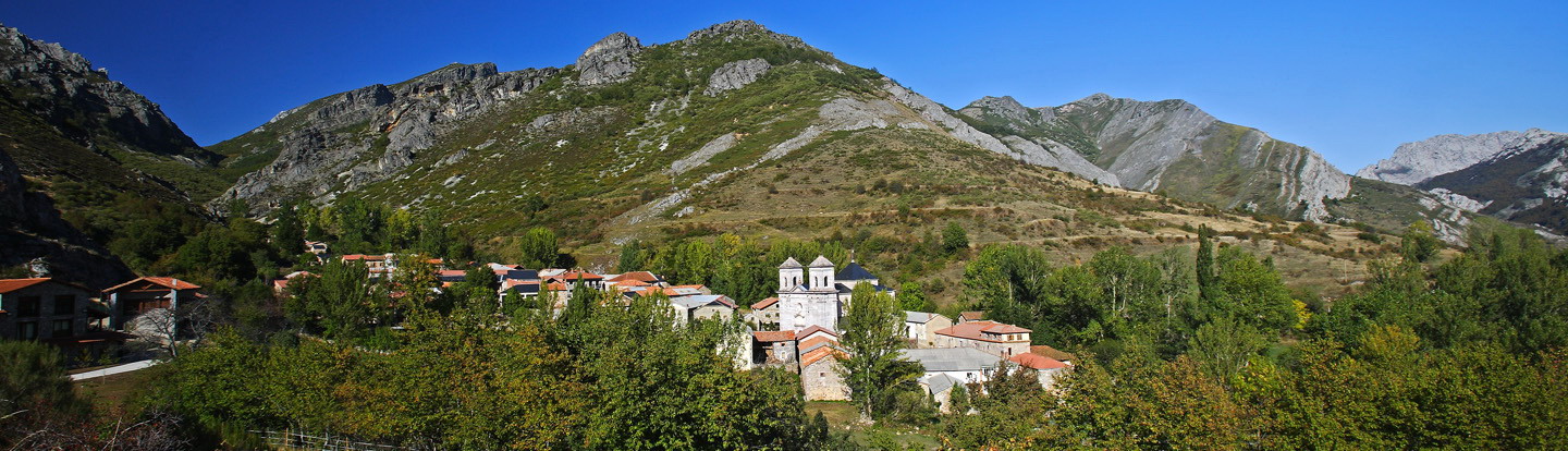
On the route, the traveler goes through very different natural spaces in a territory declared a Natural Biosphere Reserve where the forests of holm oaks, cork oaks, strawberry trees, groans and groves contrast with the trees on the banks covered with poplars, willows and alders. Places where a great variety of birdlife coexists, highlighting the tusk, an exclusive aquatic species from the waters of the Alagón river.
On the way, the walker will find short breaks to enjoy amazing views of the river valleys, the Sierra de Béjar, or the town of Miranda del Castañar, hidden among the lushness of the landscape.
You cannot leave the route without stopping and dining at any of the towns that crosses the path of the most traditional products in the area: Iberian ham, oil, wine, cherries and honey.
Route Data
- Origin and destination of the route:
- Sotoserrano
- Journey:
- Circular
- Way:
- On foot (217 h.)
- Length:
- 8.4 km.
- Ascent slope:
- 168
- Recommended:
- Spring,
- Autumn
- Difficulty of the route:
- Low
Address
Sotoserrano. 37657 Salamanca.


