


Ornithology tourism
Watch our birds
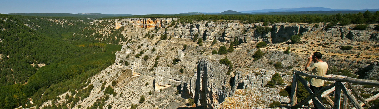
Las hoces septentrionales del Duraton
To the right, a path ascends among the rocks, as far as it links up with the slabs that are at the top of the canyon. Then we can take the path that goes down to the reservoir, and move along a path to the left amongst reeds and brush.
Route Data
- Origin of the route:
- San Miguel de Bernuy 8Segovia)
- Destination of the route:
- Fuentidueña (Segovia)
- Journey:
- Lineal
- Way:
- On foot (33 h.)
- Length:
- 8.7 km.
- Recommended:
- Spring,
- Autumn,
- Winter
- Difficulty of the route:
- Low
Address
San Miguel de Bernuy. 40332 Segovia.


