


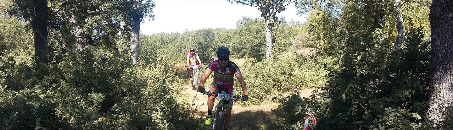
Vía de la Plata Route
-
Length: Approx. 384 km
-
Provinces included: León, Zamora,Salamanca
-
Total ascent: 4,952 m
-
Total descent: 4,192 m
-
Maximum altitude: 1,610 m
- Minimum altitude: 621 m
Track:
The Vía de la Plata Route goes through Castilla y León along the historic route of the same name, now a Site of Cultural Interest. Used as a natural communication route between northern and southern Spain since prehistoric times, this route was strengthened through the construction of various roadways in Roman times, under Emperor Augustus in the 1st century A.D.
From Sierra de Béjar (where a Roman road, unique in Spain due to its length and good condition, is preserved) to Vía de la Carisa, you will be able to admire important remnants of the ancient Roman road and enjoy the monumental cities that were established along its banks, such as Helmántica (Salamanca), a World Heritage City thanks to its extraordinary cultural value; Ocellum Duri (Zamora), known as Spain’s "Romanesque Capital" for its 22 Romanesque churches; and León, a city whose Roman past is linked with gold mining in Las Médulas and the development of the Vía de la Plata Route.
Follow this route to enjoy a wide variety of landscapes, from the oak-filled terrains of the Central System to the gentle undulations, peneplains, vineyards and grain fields, moorland and the extraordinary foothills of the Cantabrian Mountains.
And now, at your journey’s end through Castilla y León along the Vía de la Plata Route, you will get to enjoy the views of the Rozo and Gato mountain ranges, living evidence of a historic past. This route is fully signposted (IMBA España).
More information: www.larutaenbici.com
Tracks Ruta Vía de la Plata (470.9 KB)