
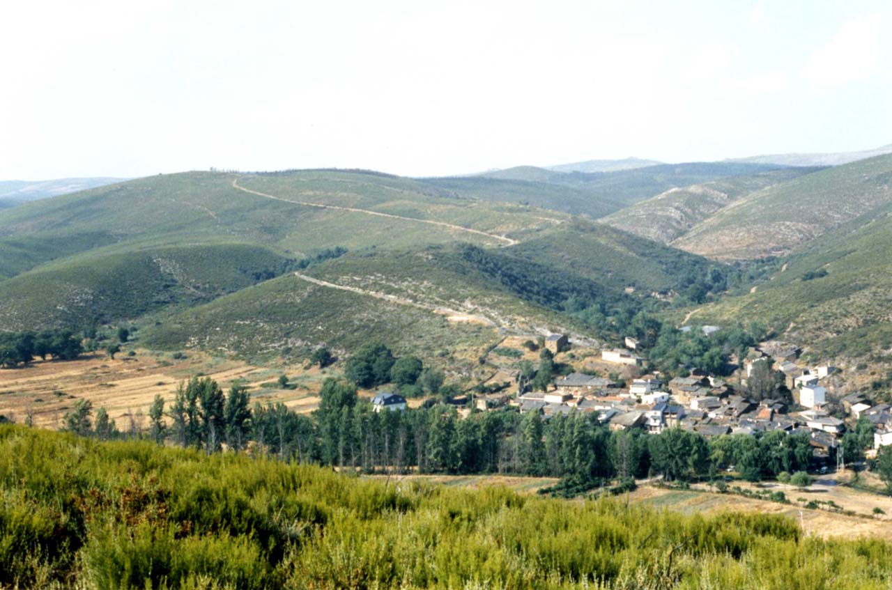
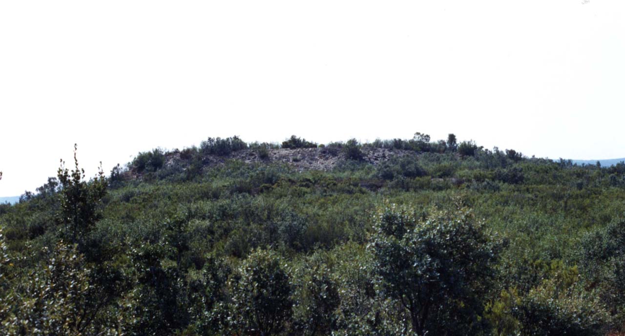
Neolithic fortified settlement of Riomanzanas
It is a relevant example of the castreño settlement, of four hectares, from the Iron Age characteristic of this area, with a privileged natural situation that makes it practically impregnable, located on the escarpment over the Fontano stream and next to the trough north. This fort presents a construction of a complex defensive system based on a wall, a field of sunken stones and two moats.
The fortified wall that surrounds the upper part of the hill is raised by slate slabs arranged in a blight and on the outside, there is a field of driven stones that is exceptional, since it extends throughout the entire perimeter of the enclosure, except in the area this, where it becomes an inaccessible area, due to the existence of a natural cut on the stream. This defensive element is made up of hundreds of pointed prismatic stone blocks placed randomly close together and which, buried in the ground substrate, protrude about 30 centimeters from the surface. This field of kneeling stones made any surprise attack on the fort unfeasible. In addition to this unusual extension, its location between two pronounced ditches that are 10 meters apart from each other is original, which accentuates its impregnability.
Historical Data
- Architecture
- Archaeology site
- Construction
- Neolithic fortified settlement
- Historical Period
- Iron Age
Get to know the surroundings
Address and map location
- Postal address Riomanzanas (Figueruela de Arriba). NaN. Zamora
Tourist information
Figueruela de Arriba town hall
To know moreAddress and map location
- Postal address municipality of Figueruela de Arriba . Zamora
- Phones980 683 048
- Fax980 683 048
Zamora tourism office
Address and map location
- Postal address Avda. Principe de Asturias, 1. Zamora. NaN. Zamora
- Web
- Phones980 531 845
To know more