
Neolithic fortified settlement of Buracote
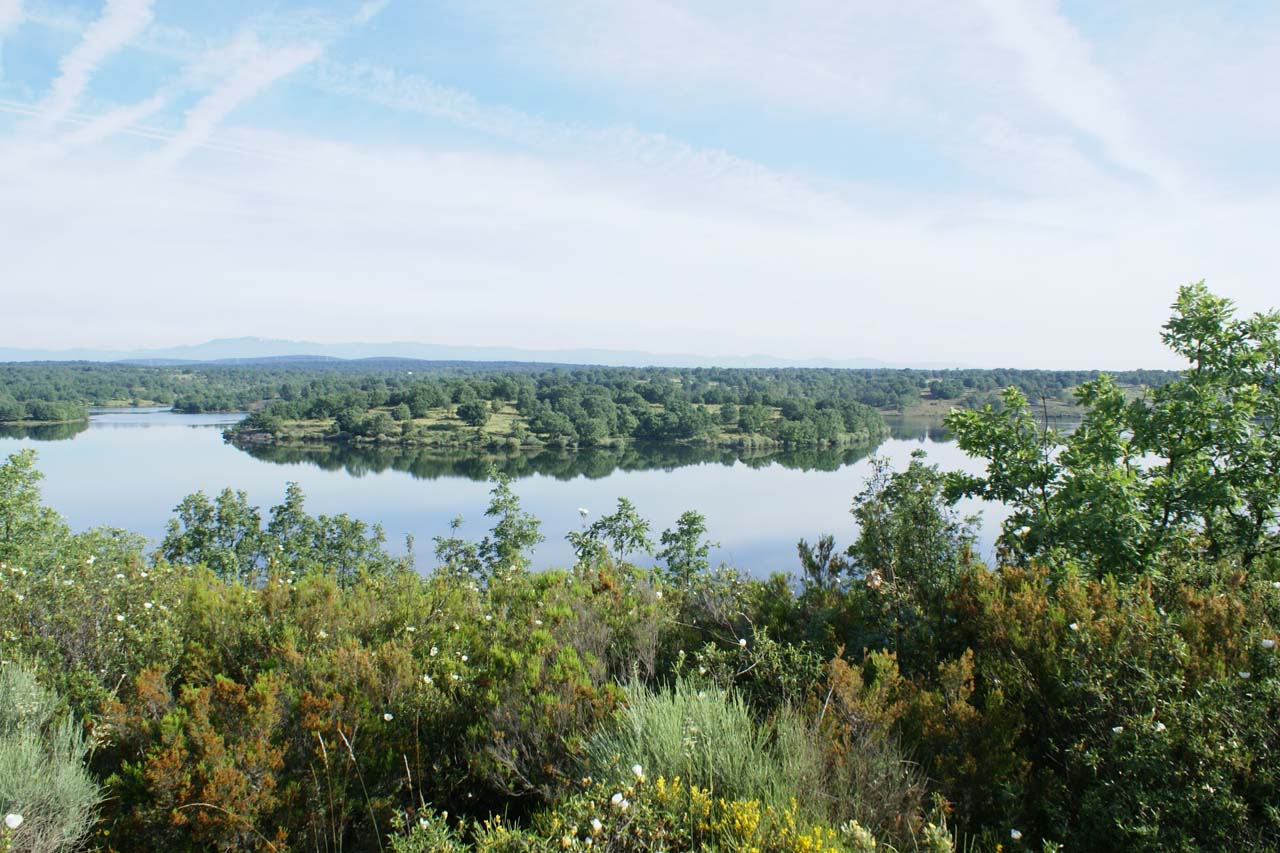
The site is located over a hill which dominates the confluence of two small streams to the Tera River. Almost all its flanks are defended in a natural way.
Various researches have documented some fragments of handmade ceramic which have circulated a lot and that are almost unclassifiable. Its cultural attribution is dated in the First and Second Iron Age. It is believed that the town was still occupied between the 3rd and 1st centuries BC. C, although the defensive system dates from the First Iron Age between the VIII-IV centuries BC. C.
The Castro del Buracote has been greatly affected by the Valparaíso reservoir. In the most affected part by the reservoir are the last remains of the wall that today are practically buried by the earth. The fort was reinforced by a defensive system of wall, moat and field of kneeling stones to defend against cavalry. These stones reach 35 meters wide and recreate a mystical environment, although today they are quite covered by vegetation.
Historical Data
- Architecture
- Archaeology site
- Construction
- Neolithic fortified settlement
- Historical Period
- Iron Age
Get to know the surroundings
Address and map location
- Postal address Fresno de la Carballeda (Mombuey). NaN. Zamora
- Web
Tourist information
Mombuey town hall
To know moreAddress and map location
- Postal address municipality of Mombuey . Zamora
- Phones980 642711
- Fax980 642711
Zamora tourism office
Address and map location
- Postal address Avda. Principe de Asturias, 1. Zamora. NaN. Zamora
- Web
- Phones980 531 845
To know more