
Béjar and Francia mountain ranges
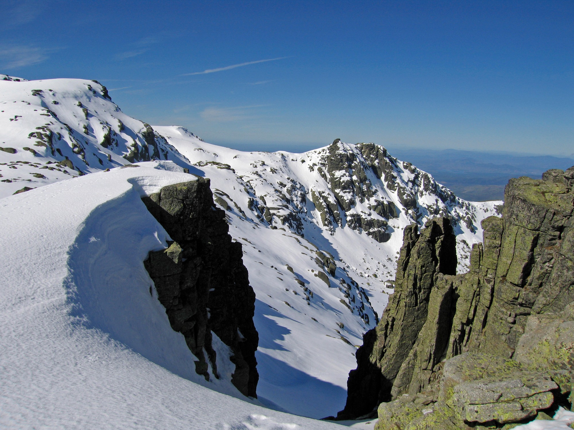
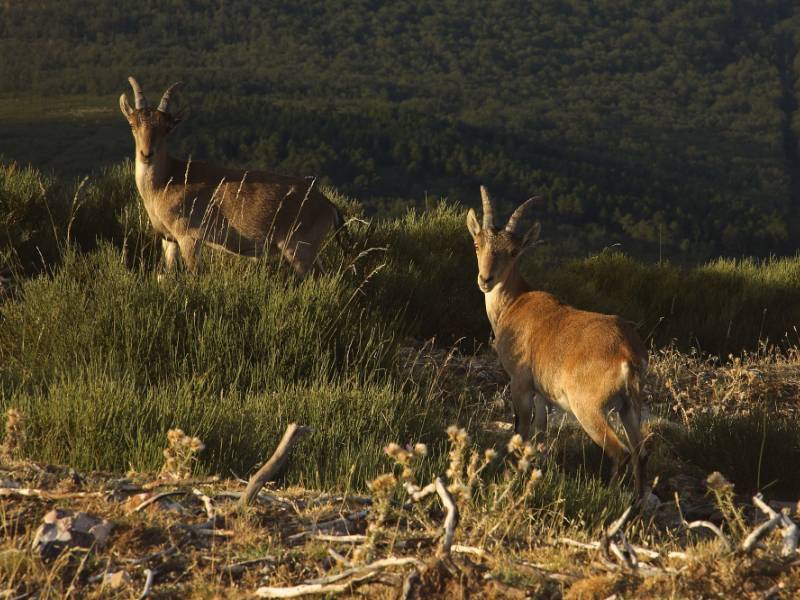
This Reserve lies in the Mediterranean region, but there are several areas with a clear Eurosiberian influence, lending a vast wealth of natural resources to the area, which is home to fascinating spots where both regions converge.
The superb conditions of these ranges, which boast an exceptional environmental and cultural heritage, make this Reserve a truly exceptional place. More than 450 km have been declared long distance trails (Senderos de Gran Recorrido), all clearly signposted and with explanatory panels providing an insight into their particular features and attractions. Each one focuses on a specific aspect of the Biosphere Reserve, addressing aspects such as the natural, cultural and historical resources that can be found there.
Prepare your visit
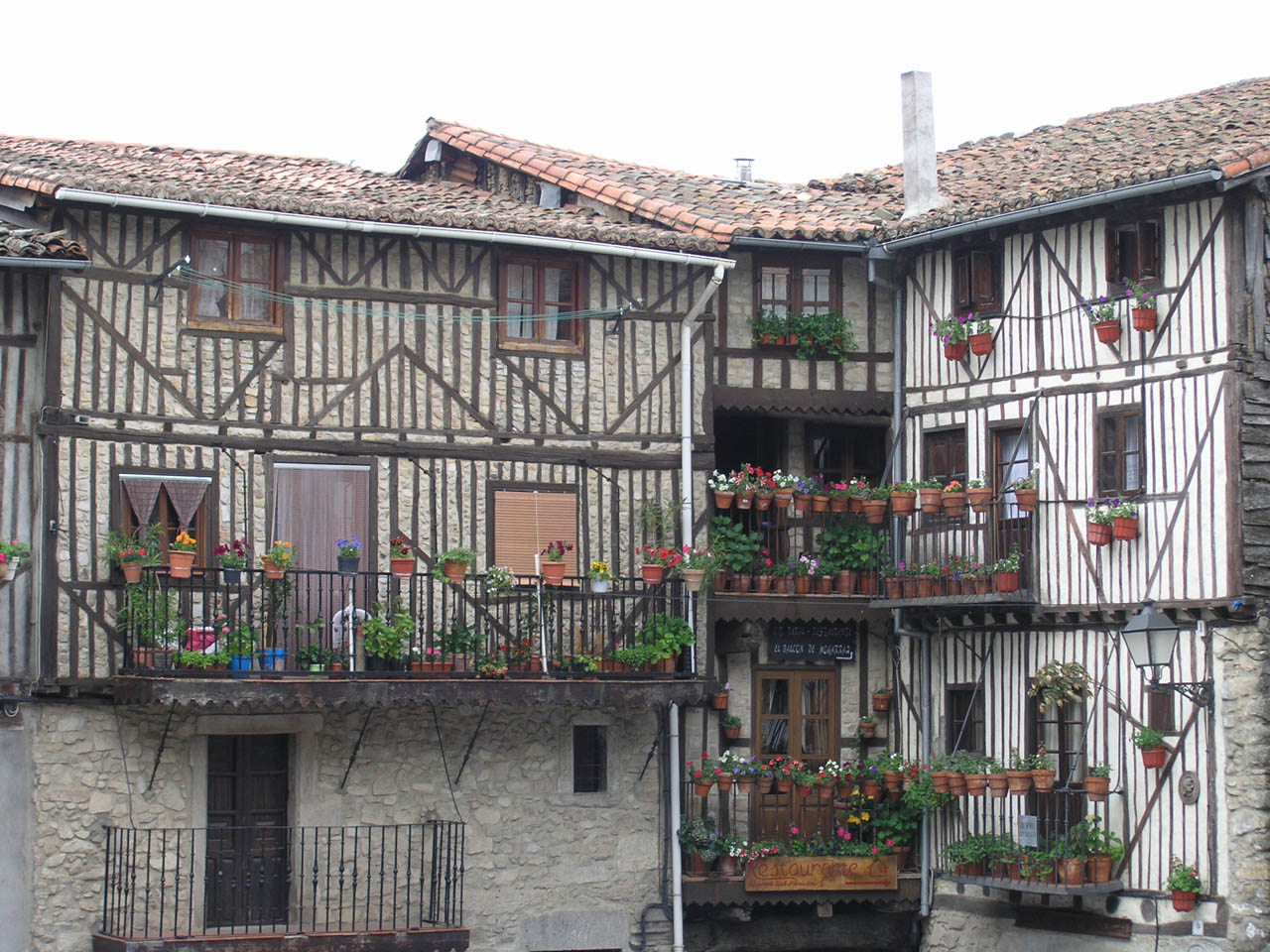
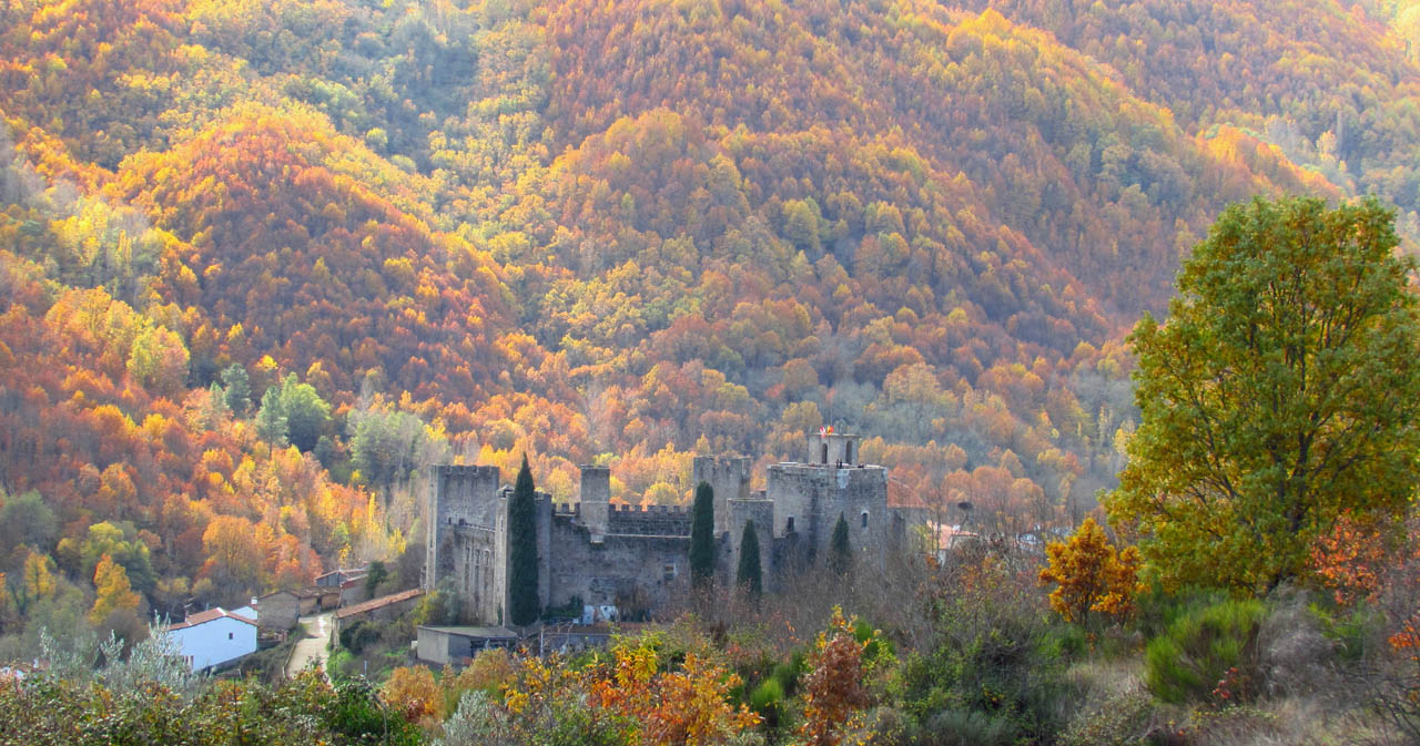
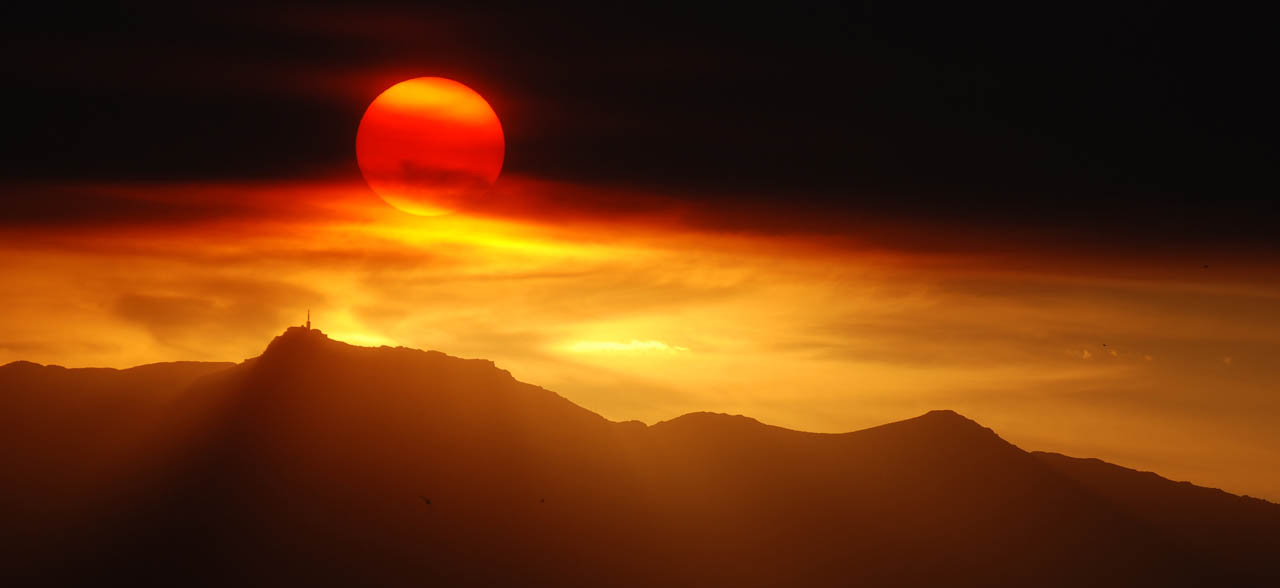
Image gallery
Enjoy this natural space
On foot and by bike
- PRSA-Senda accesible Accessible Pathway Valle de las BatuecasTo know more
This is a botanical path that shows us lots of species of forest and undergrowth of great beauty. Through the route, crossing its...
- Journey
- Linear
- Way
- On foot (0.2 h.)
- Length
- 1.5 kms.
- Difficulty of the route
- Low
- Asentadero - Forest of MirrorsTo know more
This route features some of the province of Salamanca’s stunning natural landscapes, taking visitors through charming towns and villages...
- Journey
- Circular
- Way
- On foot (3 h.)
- By bike (3 h.)
- Length
- 9.2 kms.
- Ascent slope
- 368 m.
- Recommended
- spring
- summer
- autumn
- winter
- Difficulty of the route
- Low
- Caminos Reales BTT RouteTo know more
- Journey
- Circular
- Way
- By bike (1.25 h.)
- Length
- 15.3 kms.
- Ascent slope
- 19 m.
- Difficulty of the route
- Low
- Cantagallo al rio RouteTo know more
The route is marked. It turns to the right along a path between rock walls, where the riverside vegetation grows profusely.
- Journey
- Linear
- Way
- On foot (2.1 h.)
- By bike (2.1 h.)
- Length
- 7.4 kms.
- Recommended
- spring
- summer
- autumn
- winter
- PRSA-13 Cepeda-Herguijuela de la SierraTo know more
The journey passes through forests of oak and chestnut trees, following the course of the brook of San Pedro del Coso.
- Journey
- Linear
- Way
- On foot (3 h.)
- Length
- 12.6 kms.
- Ascent slope
- 80 m.
- Recommended
- spring
- summer
- autumn
- winter
- Difficulty of the route
- Low
- Cycle touring path Las CávenesTo know more
- Way
- By bike (2 h.)
- Length
- 16.12 kms.
- Ascent slope
- 250 m.
- Recommended
- spring
- autumn
- Difficulty of the route
- Medium-Low
- Cycle touring path Río AlagónTo know more
- Way
- By bike (1.5 h.)
- Length
- 16.5 kms.
- Ascent slope
- 200 m.
- Recommended
- spring
- summer
- autumn
- winter
- Difficulty of the route
- Medium-Low
- PRSA-8 El Cabaco- Peña de FranciaTo know more
It is not recommended to abandon the path on the slope of the rise of Peña de Francia, because it is a reserved area.
- Journey
- Linear
- Way
- On foot (6 h.)
- Length
- 8.7 kms.
- Ascent slope
- 760 m.
- Recommended
- spring
- summer
- autumn
- winter
- Difficulty of the route
- Medium
- PRSA-9 El Cabaco-Nava de Francia-El Casarito- Peña de FranciaTo know more
The route is not recommended with rain or snow. Footwear has to be comfortable. You must not leave the path on the slope leading...
- Journey
- Linear
- Way
- On foot (4.5 h.)
- By bike (4.5 h.)
- Length
- 11 kms.
- Ascent slope
- 760 m.
- Recommended
- autumn
- Difficulty of the route
- Medium-High
- PRSA-7 El Maillo-Peña de FranciaTo know more
The trail passes by repopulation forests of Scots pine and gall oaks, being in its final stretch a tour between quartzite stones.
- Journey
- Linear
- Way
- On foot (6 h.)
- Length
- 7 kms.
- Ascent slope
- 737 m.
- Recommended
- spring
- summer
- autumn
- winter
- Difficulty of the route
- Medium
- Entresierras 1 BTT Route or Cabeza del Águila RouteTo know more
- Journey
- Linear
- Way
- By bike (1 h.)
- Length
- 9.96 kms.
- Ascent slope
- 155 m.
- Difficulty of the route
- Medium
- Entresierras 2 BTT Route or Route of the Vineyards of the Sierra de FranciaTo know more
- Journey
- Circular
- Way
- By bike (3 h.)
- Length
- 20.39 kms.
- Ascent slope
- 537 m.
- Difficulty of the route
- High
- Entresierras 3 BTT Route or Integral RouteTo know more
- Journey
- Circular
- Way
- By bike (5 h.)
- Length
- 57.74 kms.
- Ascent slope
- 894 m.
- Difficulty of the route
- High
- Entresierras 4 BTT Route or Santibañez de la Sierra RouteTo know more
- Journey
- Circular
- Way
- By bike
- Length
- 6.16 kms.
- Ascent slope
- 224 m.
- Difficulty of the route
- Medium
- Entresierras 5 BTT Route or Valdefuentes de Sangusín RouteTo know more
- Journey
- Circular
- Way
- By bike (1.25 h.)
- Length
- 12.28 kms.
- Ascent slope
- 125 m.
- Difficulty of the route
- Medium
- Entresierras 6 BTT Route or Fuenterroble de Salvatierra RouteTo know more
- Journey
- Circular
- Way
- By bike (0.5 h.)
- Length
- 6.56 kms.
- Ascent slope
- 84 m.
- Difficulty of the route
- Low
- Fossil Traces Route in MonsagroTo know more
The identity of Monsagro is related to the fossil traces that we easily discover on a good part of the facades of its houses, streets...
- Journey
- Circular
- Way
- On foot (1 h.)
- Length
- 1.5 kms.
- Recommended
- spring
- summer
- autumn
- winter
- Difficulty of the route
- Low
- PRSA-14 Herguijuela de la Sierra- La AlbercaTo know more
The route follows the upper part of the slope of the range of Honconera, enjoying almost all the way beautiful panoramics.
- Journey
- Linear
- Way
- On foot (6 h.)
- Length
- 8.1 kms.
- Ascent slope
- 460 m.
- Recommended
- spring
- summer
- autumn
- winter
- Difficulty of the route
- Medium
- GR-10 Journey of the Sierra de Francia, by the Laguna de San MarcosTo know more
High difficulty in some stretches.
- Journey
- Journey
- Way
- On foot (0.5 h.)
- Length
- 1.5 kms.
- Recommended
- spring
- summer
- autumn
- winter
- Difficulty of the route
- Low
- GR-10 (ETAPA 4) Journey of the Sierra de Francia, from La Alberca to the Peña de FranciaTo know more
High difficulty in some stretches. It is recommended not to climb Peña de Francia with snow.
- Journey
- Journey
- Way
- On foot (7 h.)
- Length
- 8.7 kms.
- Ascent slope
- 667 m.
- Recommended
- spring
- summer
- autumn
- winter
- Difficulty of the route
- Medium-High
- GR-10 (ETAPA 2) Journey of the Sierra de Francia, from Miranda to MogarrazTo know more
High difficulty in some stretches.
- Journey
- Journey
- Way
- On foot (2 h.)
- Length
- 5.6 kms.
- Ascent slope
- 260 m.
- Recommended
- spring
- summer
- autumn
- winter
- Difficulty of the route
- Medium
- GR-10 (ETAPA 3) Journey of the Sierra de Francia, from Mogarraz to La AlbercaTo know more
High difficulty in some stretches.
- Journey
- Journey
- Way
- On foot (2.5 h.)
- Length
- 7.6 kms.
- Ascent slope
- 306 m.
- Recommended
- spring
- autumn
- Difficulty of the route
- Medium
- GR-10 (ETAPA 5) Journey of the Sierra de Francia, from Monsagro to the recreation area El VaoTo know more
High difficulty in some stretches.
- Journey
- Journey
- Way
- On foot (1.5 h.)
- Length
- 3.5 kms.
- Recommended
- spring
- summer
- autumn
- winter
- Difficulty of the route
- Medium
- GR-10 Journey of the Sierra de Francia, from Sotoserrano to MirandaTo know more
High difficulty in some stretches.
- Journey
- Journey
- Way
- On foot (3.5 h.)
- Length
- 9.1 kms.
- Ascent slope
- 212 m.
- Recommended
- spring
- summer
- autumn
- winter
- Difficulty of the route
- Medium-High
- GR-10 (ETAPA 4) Journey of the Sierra de Francia, from the Peña de Francia to MonsagroTo know more
High difficulty in some stretches. It is recommended not to climb Peña de Francia with snow.
- Journey
- Journey
- Way
- On foot (6 h.)
- Length
- 12.5 kms.
- Recommended
- spring
- summer
- autumn
- winter
- Difficulty of the route
- Medium-High
- La Alberca - HerguijuelaTo know more
Along the route the varying orientation of different slopes, linked to the different degree of dampness caused by streams and springs,...
- Journey
- Journey
- Way
- On foot (3 h.)
- By bike (1.3 h.)
- Length
- 8.1 kms.
- Recommended
- spring
- summer
- autumn
- winter
- PRSA-10 La Alberca- Las Batuecas- Painted GoatsTo know more
This is a route quite hard and complicated. It is not allowed to leave the path in the valley of Batuecas or in Portillo because...
- Journey
- Linear
- Way
- On foot (4 h.)
- Length
- 8 kms.
- Ascent slope
- 650 m.
- Recommended
- spring
- summer
- autumn
- winter
- Difficulty of the route
- High
- La Buitrera BTT RouteTo know more
- Journey
- Circular
- Way
- By bike (3.5 h.)
- Length
- 38 kms.
- Ascent slope
- 1,043 m.
- Difficulty of the route
- Medium-High
- La Plata BTT RouteTo know more
- Journey
- Circular
- Way
- By bike (3.5 h.)
- Length
- 39.58 kms.
- Ascent slope
- 447 m.
- Difficulty of the route
- Medium
- MTB Route Entresierras 7 or Route of the SaintsTo know more
- Journey
- Circular
- Way
- By bike (1 h.)
- Length
- 9.43 kms.
- Ascent slope
- 135 m.
- Difficulty of the route
- Medium
- MTB Route Entresierras 8 or Route of the two ValleysTo know more
- Journey
- Circular
- Way
- By bike (3 h.)
- Length
- 31.96 kms.
- Ascent slope
- 571 m.
- Difficulty of the route
- High
- MTB Route Entresierras 9 or Fuenterroble Route - Los SantosTo know more
- Journey
- Circular
- Way
- By bike (3 h.)
- Length
- 27.83 kms.
- Ascent slope
- 271 m.
- Difficulty of the route
- High
- PRSA-12 Mogarraz-CepedaTo know more
The route has a section that coincides with the ‘Ruta del Agua’, a path of art and nature where admire sculptures of various artists...
- Journey
- Linear
- Way
- On foot (1.5 h.)
- By bike (1.5 h.)
- Length
- 4.8 kms.
- Ascent slope
- 127 m.
- Recommended
- spring
- summer
- autumn
- winter
- Difficulty of the route
- Low
- PRSA-11 Monforte de la Sierra- Miranda del CastañarTo know more
The path is a walk through orchards of cherry trees, vineyards and olive trees. It is a comfortable journey with very nice views...
- Way
- On foot (2.5 h.)
- By bike (2.5 h.)
- Length
- 6.3 kms.
- Ascent slope
- 323 m.
- Recommended
- spring
- summer
- autumn
- winter
- Difficulty of the route
- Low
- Mycological trail between Montemayor del Río and El CerroTo know more
A mycological path between the towns of Montemayor del Río and El Cerro has just been opened to the public, a beautiful circular...
- Journey
- Circular
- Way
- On foot (3 h.)
- Length
- 9.1 kms.
- Ascent slope
- 373 m.
- Recommended
- spring
- summer
- autumn
- winter
- Difficulty of the route
- Medium
- Path of WondersTo know more
To the south of the province of Salamanca, in the Sierras de Béjar y de Francia Biosphere Reserve, is the Camino de los Prodigios.
- Journey
- Circular
- Way
- On foot (4 h.)
- Length
- 10.2 kms.
- Ascent slope
- 475 m.
- Recommended
- spring
- summer
- autumn
- winter
- Difficulty of the route
- Medium
- Ruta accesible (para personas con movilidad reducida) Pathway of the Castaños Centenarios Accessible PathwayTo know more
Apart from centenary chestnut trees, the path allows us to find ferns, hawthorns, broom, heather and other unique species.
- Journey
- Circular
- Way
- On foot (0.5 h.)
- Length
- 1.6 kms.
- Ascent slope
- 20 m.
- Recommended
- spring
- autumn
- Difficulty of the route
- Low
- Route of the three riversTo know more
The Three Rivers Route is a circular path, accessible to all audiences, that begins and ends in the Plaza Mayor de Sotoserrano. The...
- Journey
- Circular
- Way
- On foot (2.17 h.)
- Length
- 8.4 kms.
- Ascent slope
- 168 m.
- Recommended
- spring
- autumn
- Difficulty of the route
- Low
- SA1 SA1 - Path of the Roots (Paths of Art in Nature)To know more
Located in the Sierra de Francia. La Alberca has an interesting hiking route called "The Path of the Roots", it is one of the proposals...
- Journey
- Circular
- Way
- On foot
- Length
- 8 kms.
- Ascent slope
- 162 m.
- Difficulty of the route
- Low
- SA3 SA3 - Monforte de la Sierra - Miranda del CastañarTo know more
Located in Las Batuecas- Sierra de Francia Natural Park. The trail begins in Monforte de la Sierra and runs through cherry trees,...
- Journey
- Linear
- Way
- On foot
- Length
- 6.8 kms.
- Ascent slope
- 323 m.
- Difficulty of the route
- Low
- SA4 SA4 - "Batuecas Valley" Accessible TrailTo know more
Located in Las Batuecas- Sierra de Francia Natural Park. From the parking lot, a suspended wooden walkway next to the Batuecas River...
- Journey
- Linear
- Way
- On foot
- Length
- 1.5 kms.
- Ascent slope
- 700 m.
- Difficulty of the route
- Low
- SA5 SA5 - Path of the Centenary Chestnut Trees "Accessible Route"To know more
Located in Las Batuecas- Sierra de Francia Natural Park. This is an ideal path for people with physical disabilities, families or...
- Journey
- Circular
- Way
- On foot
- Length
- 1.6 kms.
- Ascent slope
- 20 m.
- Difficulty of the route
- Low
- Teta de Gilbuena BTT RouteTo know more
- Journey
- Circular
- Way
- By bike (2.5 h.)
- Length
- 21.6 kms.
- Ascent slope
- 418 m.
- Difficulty of the route
- Medium
- PRCSA-15 The Dehesa de MogarrazTo know more
The road descends by a paved track that then returns to the original road of cobblestones, between terraces with cherry trees and...
- Journey
- Circular
- Way
- On foot (2 h.)
- Length
- 4 kms.
- Ascent slope
- 300 m.
- Recommended
- spring
- summer
- autumn
- winter
- Difficulty of the route
- Low
- The Way of Los TrasiegosTo know more
The first section of the Camino de los Trasiegos sits on a beautiful cobbled road that connects the mountain towns of San Miguel...
- Journey
- Linear
- Way
- On foot (2 h.)
- Length
- 3.5 kms.
- Recommended
- spring
- summer
- autumn
- winter
- Difficulty of the route
- Medium
- The path of the HonfríaTo know more
In the surroundings of Linares de Riofrío is La Honfría, a large forest of holly, centennial chestnut, hazelnut, wild cherry, elderberry...
- Journey
- Circular
- Way
- On foot (2.25 h.)
- Length
- 7 kms.
- Ascent slope
- 230 m.
- Recommended
- spring
- summer
- autumn
- winter
- Difficulty of the route
- Low
- The route of Los Lagares RupestresTo know more
The winemaking tradition of San Esteban de la Sierra is evident in the Ruta de los Lagares Rupestres, a circular route of around...
- Journey
- Circular
- Way
- On foot (5 h.)
- Length
- 13 kms.
- Ascent slope
- 290 m.
- Recommended
- spring
- summer
- autumn
- winter
- Difficulty of the route
- Medium
- Trail of the viewpoints of the mountainsTo know more
The Sierras viewpoints trail is a five-kilometer circular route between Santibáñez de la Sierra and San Esteban de la Sierra, easy...
- Journey
- Circular
- Way
- On foot (1.5 h.)
- Length
- 4.8 kms.
- Ascent slope
- 127 m.
- Recommended
- spring
- summer
- autumn
- winter
- Difficulty of the route
- Low
- Water WayTo know more
A path created with the passage of the centuries and an ideal place to explore a part of the Natural Park Las Batuecas - Sierra de...
- Journey
- Circular
- Way
- On foot (2.1 h.)
- By bike (2.1 h.)
- Length
- 6 kms.
- Ascent slope
- 255 m.
- Descent slope
- 255 m.
- Recommended
- spring
- summer
- autumn
- winter
- Difficulty of the route
- Low
- PRSA-19 Way Cepeda-Monforte de la SierraTo know more
The route is well signposted however must pay attention to the numerous walk diversions.
- Journey
- Linear
- Way
- On foot (1.5 h.)
- By bike (1.5 h.)
- Length
- 4.8 kms.
- Ascent slope
- 180 m.
- Recommended
- spring
- summer
- autumn
- winter
- Difficulty of the route
- Medium-Low
- PRSA-18 Way Herguijuela - Fuente MundoTo know more
The route is interesting to watch birds. In both sides of the road we observe pronounced gradients with remains of cork oaks, strawberry...
- Journey
- Linear
- Way
- On foot (0.75 h.)
- Length
- 2 kms.
- Ascent slope
- 120 m.
- Recommended
- spring
- summer
- autumn
- winter
- Difficulty of the route
- Low
- PRSA-20 Way circular de MadroñalTo know more
The route descends smoothly between orchards and strawberry trees.
- Journey
- Circular
- Way
- On foot (1.5 h.)
- Length
- 5 kms.
- Ascent slope
- 60 m.
- Recommended
- spring
- summer
- autumn
- winter
- Difficulty of the route
- Low
- Way of las raicesTo know more
Inside the Sierra de France the explorer will find this Camino de las Raíces, a tour of the art, nature and history of La Alberca,...
- Journey
- Circular
- Way
- On foot (2.75 h.)
- By bike (2.75 h.)
- Length
- 8 kms.
- Ascent slope
- 162 m.
- Descent slope
- 162 m.
- Recommended
- summer
- Difficulty of the route
- Low
- PRCSA-16 Way of los RodalesTo know more
The road passes by an agricultural trek, which takes us through orchards of vineyards and fruit trees, as well as small areas of...
- Journey
- Circular
- Way
- On foot (2 h.)
- By bike (2 h.)
- Length
- 6.5 kms.
- Ascent slope
- 80 m.
- Recommended
- spring
- summer
- autumn
- winter
- Difficulty of the route
- Low
- PRCSA-17 Way of the PeñascoTo know more
The route is easy and shows very important natural and archaeological finds.
- Journey
- Circular
- Way
- On foot (1 h.)
- Length
- 2 kms.
- Ascent slope
- 20 m.
- Recommended
- spring
- summer
- autumn
- winter
- Difficulty of the route
- Low
Active Tourism activity search engine
Natural Espace
 Batuecas and Sierra de Francia Natural Park
Get to know the surroundings
Address and map location
It's happening
- only 12 October
- Dates
- October 12, 2024
- only 25 October
- Dates
- October 25, 2024
- only 8 November
- Dates
- November 8, 2024
- only 15 November
- Dates
- November 15, 2024
- only 23 November
- Dates
- November 23, 2024
- only 7 December
- Dates
- December 7, 2024
- only 20 December
- Dates
- December 20, 2024


