
BTT Route Camino de Santiago Portuguese Via de la Plata
- Route code
- CCL-CDS-007
- Journey
- Linear
- Way
- By bike (6 h.)
- Length
- 106 kms.
- Ascent slope
- 884 m.
- Difficulty of the route
- Medium
- Route
- From Zamora to Frontera con Portugal
The route, once leaving Zamora, and crossing the towns of La Hiniesta , Valdeperdices, Almendra del Pan and Campillo , enters the Aliste region already in the town of Muelas del Pan , to pass through the urban centers of Ricobayo, Cerezal from Aliste, Bermillo de Alba, Fornillos de Aliste, Ceadea, Arcillera, Vivinera, Alcañices, Sejas de Aliste, Trabazos and San Martín del Pedroso to conclude next to the international bridge over the Manzanas River, border with Portugal.
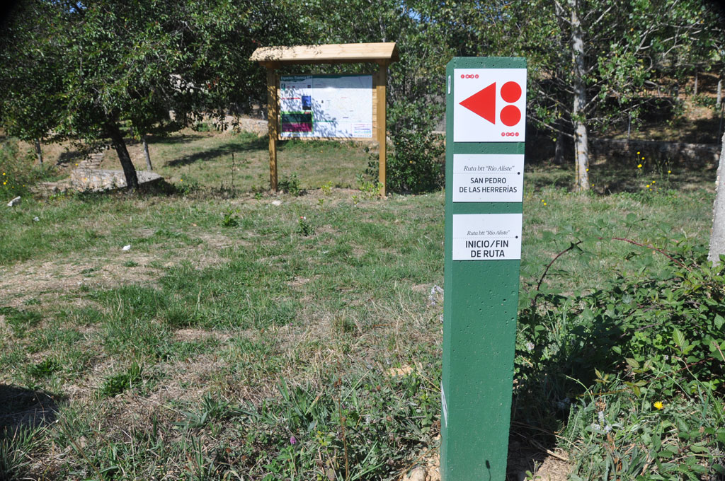
It is important to mention that the route is marked with directional beacons from the municipality of Muelas del Pan, and in a few months it may also be marked from Zamora capital.
The route does not offer great complications, being a slight climb until passing the town of Alcañices, and already reaching Sejas de Aliste, from where it descends looking for the Manzanas River , delimiting the border with Portugal.
The route offers the service of three pilgrim hostels in Fonfría, Alcañices, and Trabazos.
The road runs from Zamora along good concentration roads between crop fields to Muelas del Pan, to cross the Ricobayo hydroelectric dam towards the town of the same name, from where you can appreciate the magnitude of the "Canyons of the Duero" . This is an area of granitic berrocales dotted with white broom and the smell of cistus.
The path continues leading to Cerezal de Aliste, where the northernmost cork oak mountain in Spain is located. passing through Ricobayo de Alba, a stage dotted with hills and scrubland landscapes with some trees.
The path runs almost entirely between oaks, along the path opened between the trees. A long journey that concludes with the arrival at Bermillo de Alba, passing through meadows and scrubland to Fonfría
You cross Fonfría through the Sanabresa ravine in its upper area to cross farm fields and scrubland and enter Fornillos de Aliste.
Next you reach Ceadea passing through small hills, scrubland and farmland, and from here crossing Arcillera and Vivinera, we arrive at Monte de Sahú at the entrance to the Villa de Alcañices, head of the region, with emblematic historical places of its past where in 1497 the Treaty of Alcañices was signed, delimiting the last European border.
Leaving Alcañices, until we reach Sejas de Aliste, we pass through the highest point of the route, already between the lands of Sejas de Aliste,
You cross the town of Sejas, on the Trabazos road, along straight, descending paths with good pavement.
After just over 17 kilometers of road without great demands and practically a slight descent, we arrive at San Martín del Pedroso, the last town before the border. to reach the old international border bridge with Portugal next to the Manzanas riverbed, where the route to Santiago de Compostela ends.
Get to know the surroundings
Address and map location
- Postal address Zamora. Zamora
- Web
It's happening
- to13 October
- When?
- Currently
- Dates
- 5 July to 13 October, 2024
- to26 October
- When?
- Currently
- Dates
- 5 September to 26 October, 2024
- only 20 September
- When?
- Soon
- Dates
- September 20, 2024
- only 21 September
- When?
- Soon
- Dates
- September 21, 2024
- only 24 September
- When?
- Soon
- Dates
- September 24, 2024
- only 25 September
- When?
- Soon
- Dates
- September 25, 2024
- only 26 September
- When?
- Soon
- Dates
- September 26, 2024
- only 27 September
- When?
- Soon
- Dates
- September 27, 2024
- only 28 September
- When?
- Soon
- Dates
- September 28, 2024
- only 1 October
- Dates
- October 1, 2024


