
Mountain Bike Route Sierra de La Culebra
- Route code
- CCL- SLC-001
- Journey
- Circular
- Way
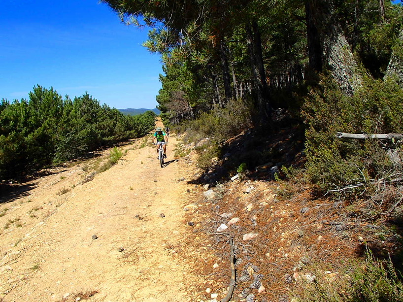
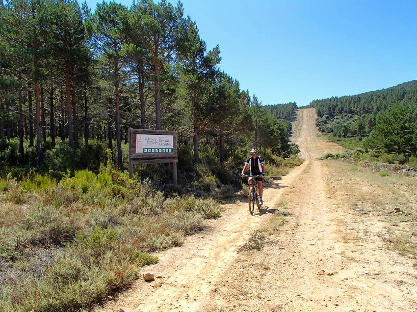
- By bike (25 h.)
- Length
- 201 kms.
- Ascent slope
- 3,143 m.
- Difficulty of the route
- Medium-High
- Web
- To know more
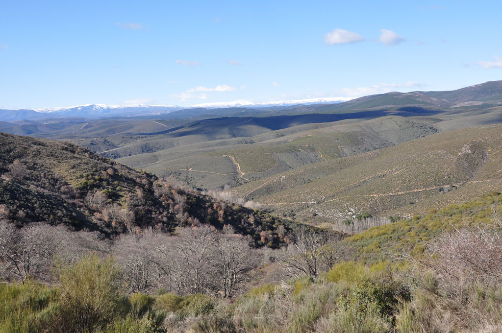
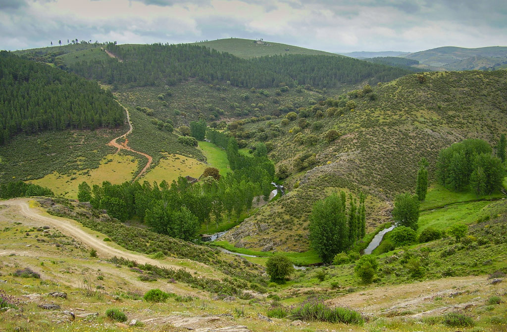
The Sierra de la Culebra is a mountain range with a soft and rounded relief, located in the northwest of the province of Zamora, almost 65 km long, and formed by a series of mountain ranges (Atalaya, Caverns, Mujer Muerta, Sesnández, Valcuevo , Roldana or Cantadores) that extend longitudinally successively. Its peaks barely exceed a thousand meters in height, with Peña Mira (1241 m), Miño Cuevo (1207 m) and Peña Castillo (1185 m) being the highest.
It covers part of the Zamora regions of Sanabria , Carballeda , Aliste and Tábara , bordering to the west with the neighboring Trás-os-Montes of Portugal, and includes a territory of approximately 70,000 ha, of which 61,305 ha have been declared SCI and 67,340 ha They have been declared a Regional Hunting Reserve .
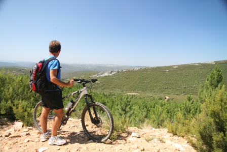
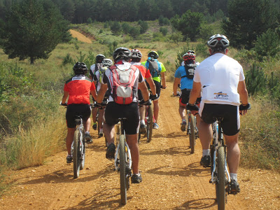
This mountain range is a unique place in which to enjoy cycle tourism and offers its visitors, among other possibilities, being able to travel for days through wide natural spaces without human presence, being one of the best places for sighting wild fauna. of Spain, the contemplation of wild landscapes, or the experience of unique ethnographic manifestations or those that have already disappeared in other corners of Spanish territory.
The extensive network of rivers and streams have created deep valleys, such as the Cabrón stream that descends from Peña Mira, or the Manzanas river that in its initial section gives rise to the Valley of the Infiernos (near Santa Cruz de los Cuérragos). and that during its journey, in one of its sections, it borders with Portugal.
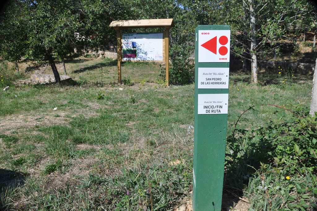
The main river is the Aliste river , which has its origin in the Portilla de San Pedro in the municipality of San Pedro de las Herrerías, and the Valdaya, Castrón and Moratones rivers also stand out, which remain seasonally dry for much of the summer.
There is a marked difference between the northwest of the mountains, in the Sanabria region, with a colder and rainier climate, and the southeast of the mountains, where temperatures increase and rainfall decreases.
During the 18th century there were extensive chestnut and oak forests in the mountains, but currently, and due to the intense reforestation that began in the mid-20th century, more than half of the surface of this natural space is occupied by masses reforested with conifers . In this way, the resin or black pine is the dominant species.
In addition, the presence of cork oak forests , chestnut trees, and to a lesser extent, strawberry trees (such as Sarracín and Cabañas) and oak oaks also stands out. It is worth highlighting the presence of alders, willows, ashes and poplars along rivers and streams.
Shrubs acquire great importance, be they brooms, brooms, heather, broom and thyme.
Wild mushrooms are an important economic resource for its inhabitants, mainly chanterelles and boletus, although their collection is regulated by local councils. The chestnut tree was also key in the nutrition of the area.
Among the fauna, the roe deer and deer stand out, being one of the places on the Iberian Peninsula where a significant number of specimens can be seen. The rutting during the mating season - between mid-September and early October - gives rise to one of the most interesting faunal events in the mountains. Along with these, the wild boar is another of the large mammals that share this extensive habitat.
The Iberian wolf has become the emblem of the Culebra mountain range. Although its population is still a minority in the mountains, its presence represents one of the highest densities of this species in the Iberian Peninsula and Western Europe and the hunting of a certain number of specimens is authorized annually to maintain its population.
The first traces of human presence date back to the Bronze Age , associated with the schematic art samples of the Covacha del Portillón and El Canchal de Melendro, both located in the town of Linarejos and currently cataloged as assets of cultural interest in the category of rock art.
The tower of the church of Santa María (Tábara) was part of the famous monastery of San Salvador de Tábara and headquarters of the scriptorium in which its monks illustrated valuable works such as the famous Beatos de Tábara.
In Puebla de Sanabria, the castle of the Counts of Benavente , built in the mid-15th century, was the most important defensive military building in this territory with the purpose of strengthening the border with Portugal.
During the Iron Age there were various settlements linked to the extraction of iron, a metallurgical activity that even gave its name to some of the towns in the mountains (Ferreras de Abajo, Ferreras de Arriba, Ferreruela and San Pedro de las Herrerías) and some of its places. The forts are historical testimonies that reveal the presence of man in this mountain range and are still visible in the towns of Riomanzanas, Ferreras de Arriba, Ferreras de Abajo and Villardeciervos, among others.
From the Roman era , the remains of the Roman road Vía XVII that linked Braga and Astorga survive, mainly for military use. From this period would be the Roman town of Veniatia , located by some authors next to the San Pedro gate, in the municipality of San Pedro de las Herrerías.
Image gallery

Get to know the surroundings
Address and map location
- Postal address Tábara. Zamora
- Web