
El Coto and Las Suertes, in Morales del Rey
- Journey
- Circular
- Way
- On foot (3 h.)
- Length
- 8.4 kms.
- Ascent slope
- 310 m.
- Recommended
- spring
- autumn
- winter
- Difficulty of the route
- Medium
The Paleozoic massif of the Sierra de Carpurias penetrates the province of Zamora from Leon in a northwest-southwest direction. With an altitude close to 1000 meters above a plain landscape, it has been a space for defense and control of the territory since ancient times. Currently it is the hallmark of a series of towns in the Benavente and Los Valles region and more specifically the Eria and Vidriales valleys.
It is a circular route that begins and ends in the Plaza de la Iglesia de Morales del Rey . The route runs along trails and roads of the Sierra de Carpurias between Morales del Rey and Manganeses de la Polvorosa. Due to the slope and loose stones of the trails, it is not recommended to do the route by bicycle.
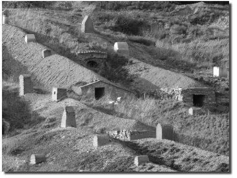
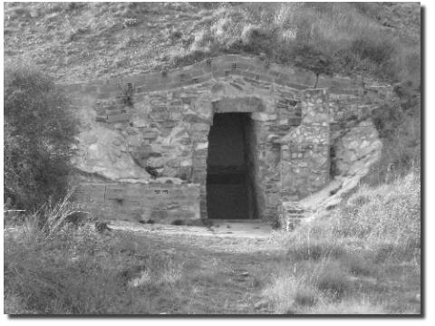
The first point of interest is found in the traditional wineries excavated on the slopes of El Teso and Peña Redonda , popular buildings that were and continue to be a place of leisure and meeting for neighbors and that were used to make and preserve wine. Morales del Rey has the largest number of wineries and the best preserved in the Benavente region and the valleys. Will you be able to determine the exact number?
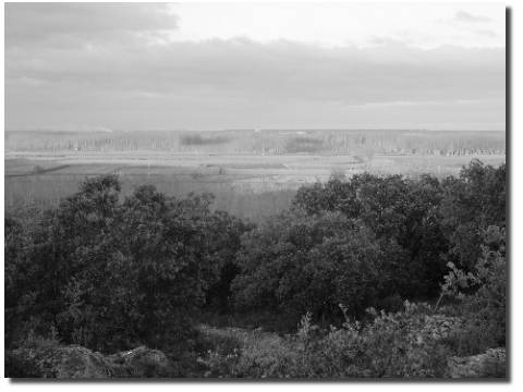
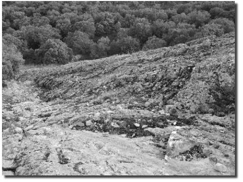
The route continues through the Lagunas del Teso (Las Pedreras) , a set of temporary lagoons that fill with winter and spring rains. Its location, between masses of holm oak forests and dryland crops, makes it one of the most appropriate places for ornithological tourism.
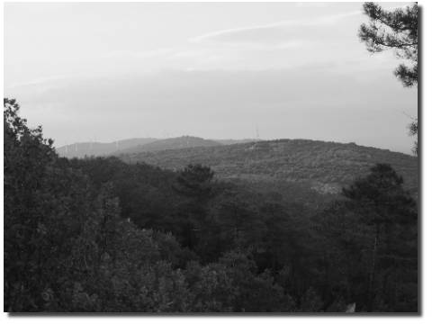
From the Coto and Suertes viewpoints you can see the plain formed by the Eria and Órbigo rivers near their confluence, a fertile plain with fruit and vegetable crops, poplar groves and riparian forest. In addition to the meadow, if the day allows it, it is possible to see the Montes de Leon and the Cantabrian Mountains. Will you be able to see the Teleno and Pe?a Ubi?a?
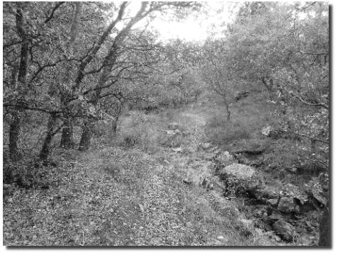
Place of interest No. 7 is a temporary stream that forms small waterfalls and pools in the rainy season. Although the stream does not carry water, the abundant oaks and the large rock at the end of the trail make it one of the most notable places on the route.
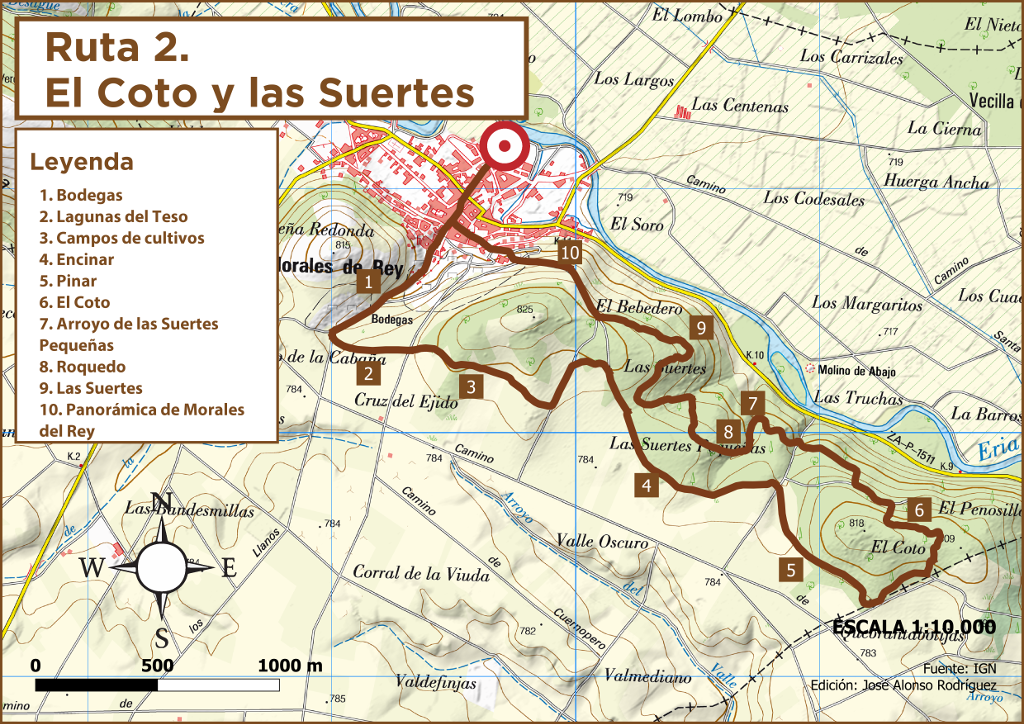
Finally, the route offers a panoramic view of Morales del Rey and Peña Redonda with the Sierra de Carpurias in the background.
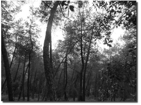
Autumn is the most appropriate time to take this route due to the explosion of colors in the meadow, the mycological tourism in the pine forests that it crosses or the ornithological tourism of the temporary lagoons next to dryland crops and holm oaks.
Image gallery
Get to know the surroundings
Address and map location
- Postal address Morales de Rey. NaN. Zamora