• Length: Approx. 244 km

  • Provinces included: Segovia, Valladolid, León

  • Total ascent: 1,940 m

  • Total descent: 2,922 m

  • Maximum altitude: 1,793 m

  • Minimum altitude: 676 m

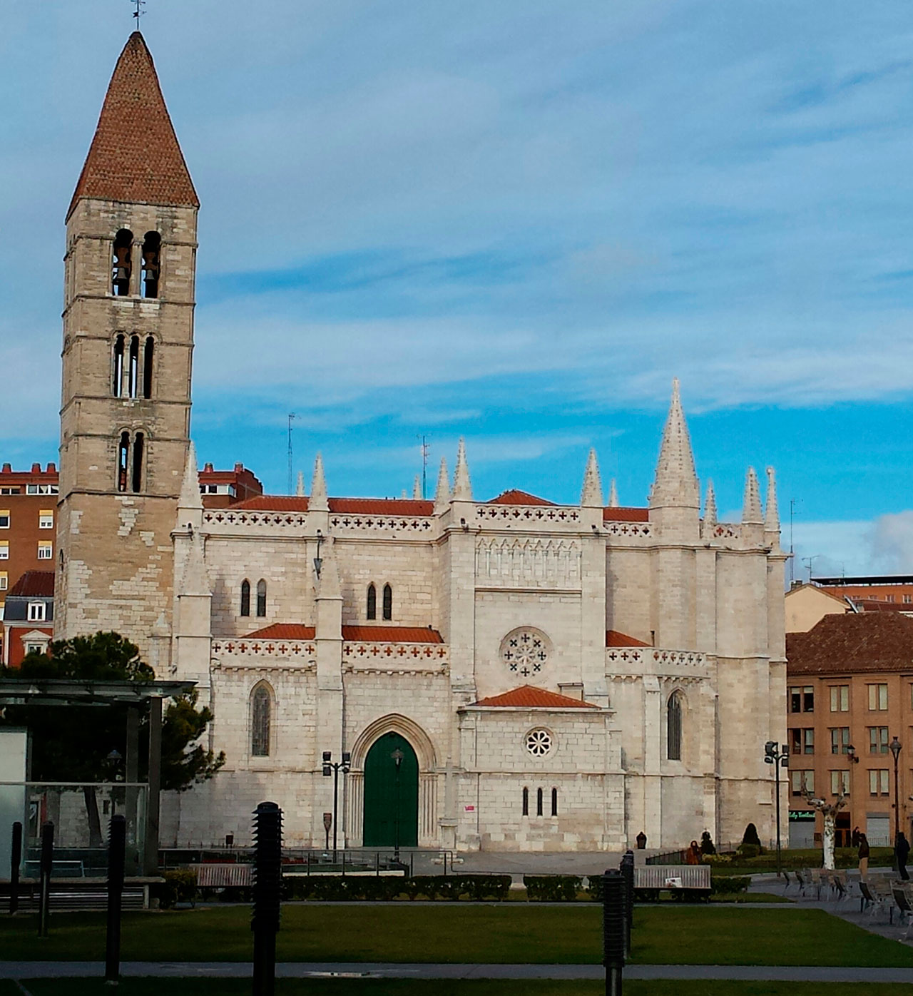
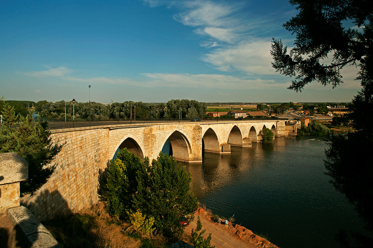
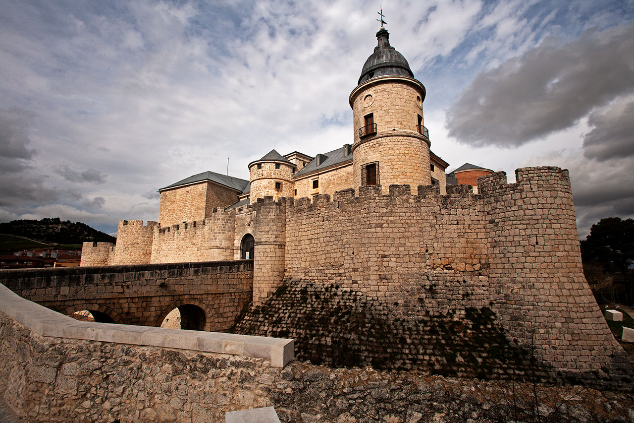
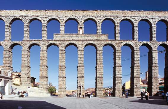
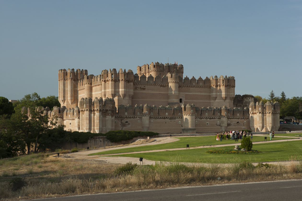
This route forms part of the Traditional Routes that run through Castilla y León to Santiago de Compostela. It begins in Madrid and crosses Castilla y León, through the provinces of Segovia, Valladolid and León, joining the French Route of the Pilgrim’s Way to Santiago in the León town of Sahagún, and with the EuroVelo 1 route in the Valladolid town of Simancas. Cycling along the Camino de Madrid, you will find monumental Historic-Artistic Sites, such as Real Sitio de San Ildefonso, Coca, Cuéllar, Simancas, Medina de Rioseco, Montealegre de Campos, San Pedro de las Dueñas, Vilalba de los Alcores, Urueña, Grajal de Campos and Sahagún, as well as the UNESCO World Heritage City of Segovia.

The religious architecture traditionally found on the Camino de Santiago is plentiful in these Historic-Artistic Sites, with buildings such as the cathedral of Segovia, from the 16th century, or that of Valladolid, from the end of the 16th century.

The Camino de Madrid showcases the variety of landscapes to be found in Castilla y León. The route crosses the foothills of the Guadarrama mountain range, to then enter the extensive plains of Tierra de Pinares. The Eresma and Cega valleys will take you towards the Pisuerga valley, which leads to the Douro River. From here, the Camino takes the Montes Torozos route, between holm oak groves and valleys, to reach the plains of Tierra de Campos, on which the route stays until it reaches Sahagún, where you can take the French Pilgrim’s Route to Santiago.


 Archivo Comprimido Tracks Ruta Camino de Madrid (192.6 KB) 

 Documento PDF Folleto Rutas Cicloturismo CyL (4.6 MB) (2 pages) 

 Documento PDF Guía del Peregrino del Camino de Madrid (19.4 MB) (144 pages)