Canal of Castilla Route
-
Length: Approx. 230 km
-
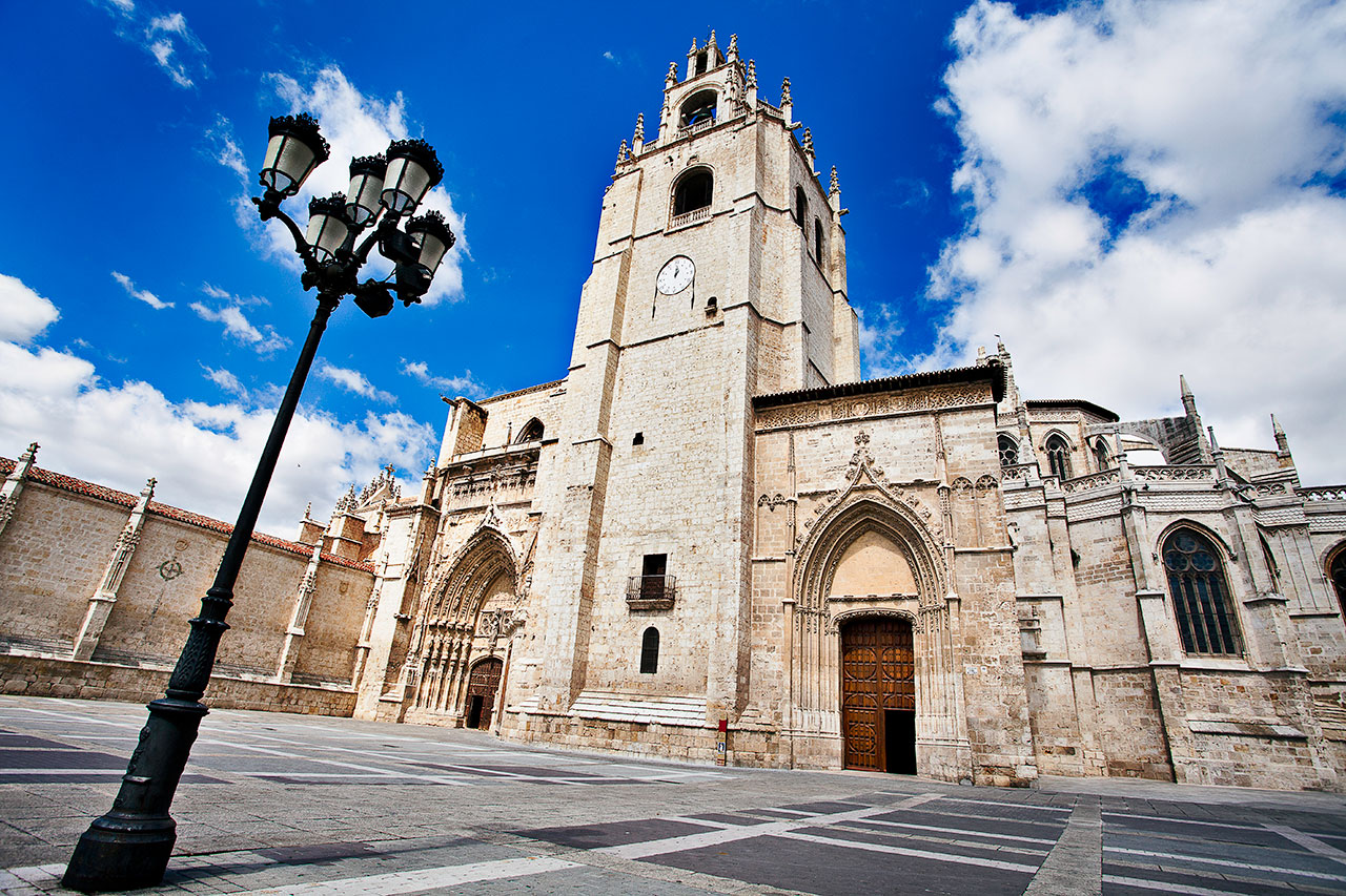
Provinces included: Burgos, Palencia,Valladolid
-
Total ascent: 380 m
-
Total descent: 533 m
-
Maximum altitude: 855 m
- Minimum altitude: 695 m
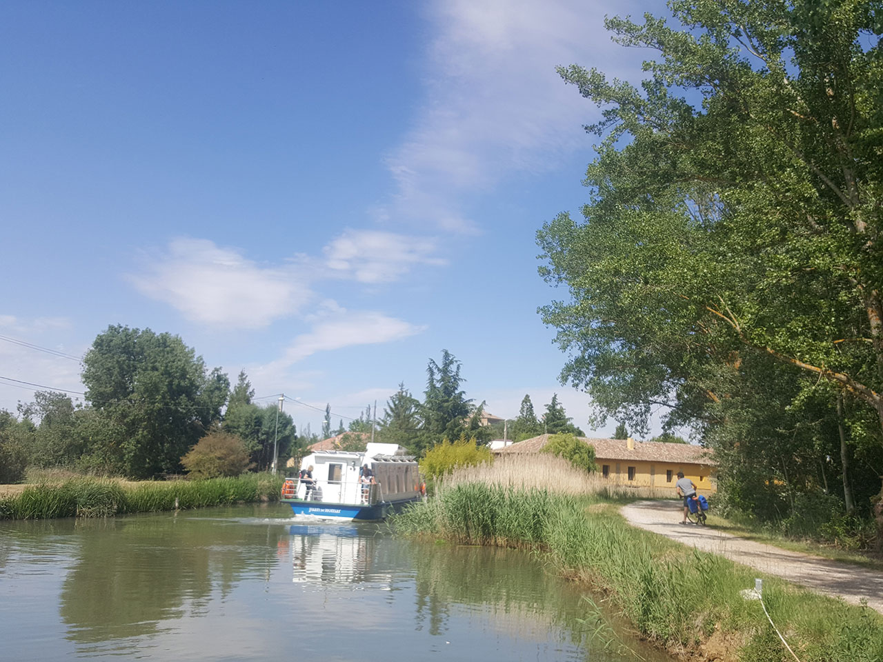
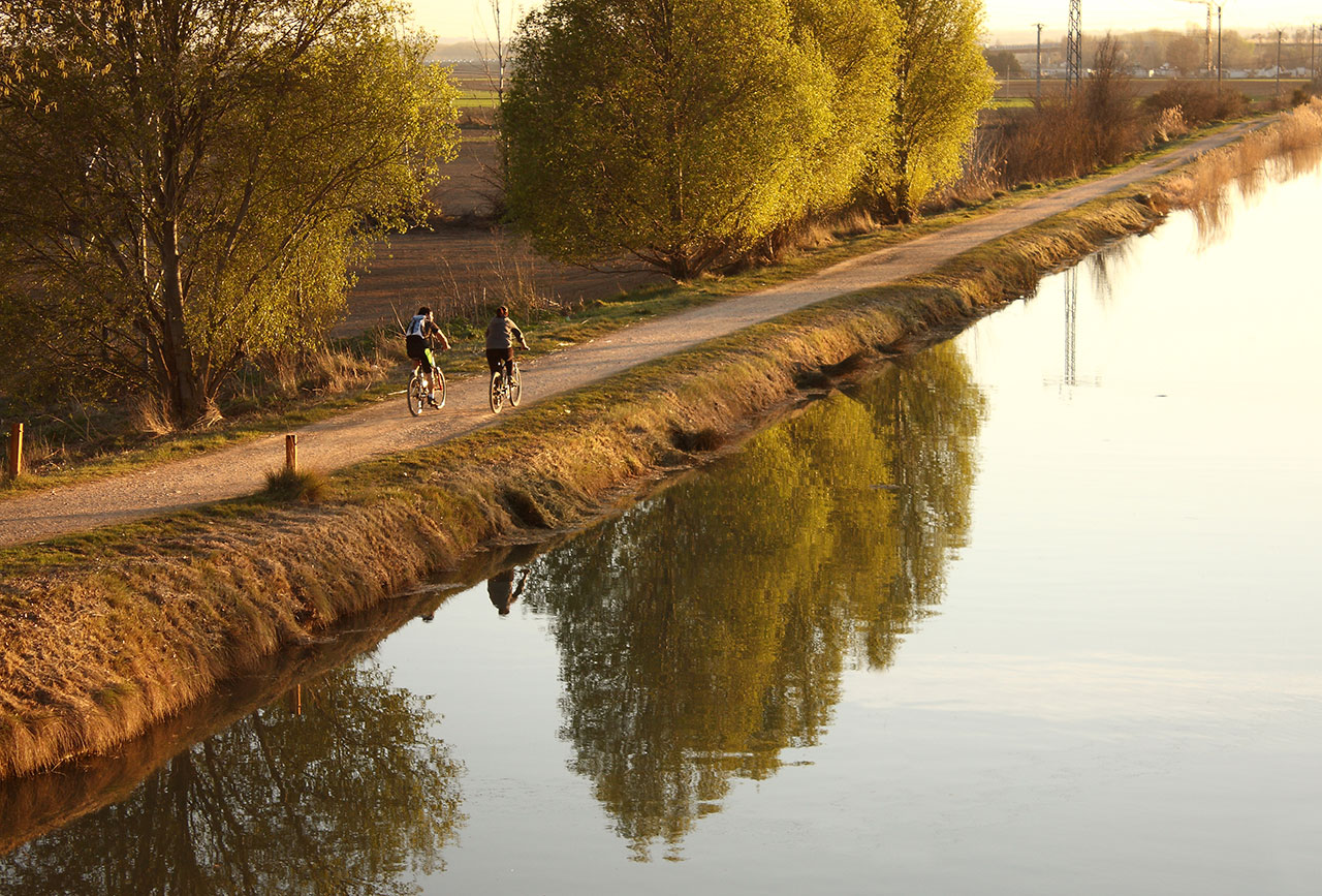
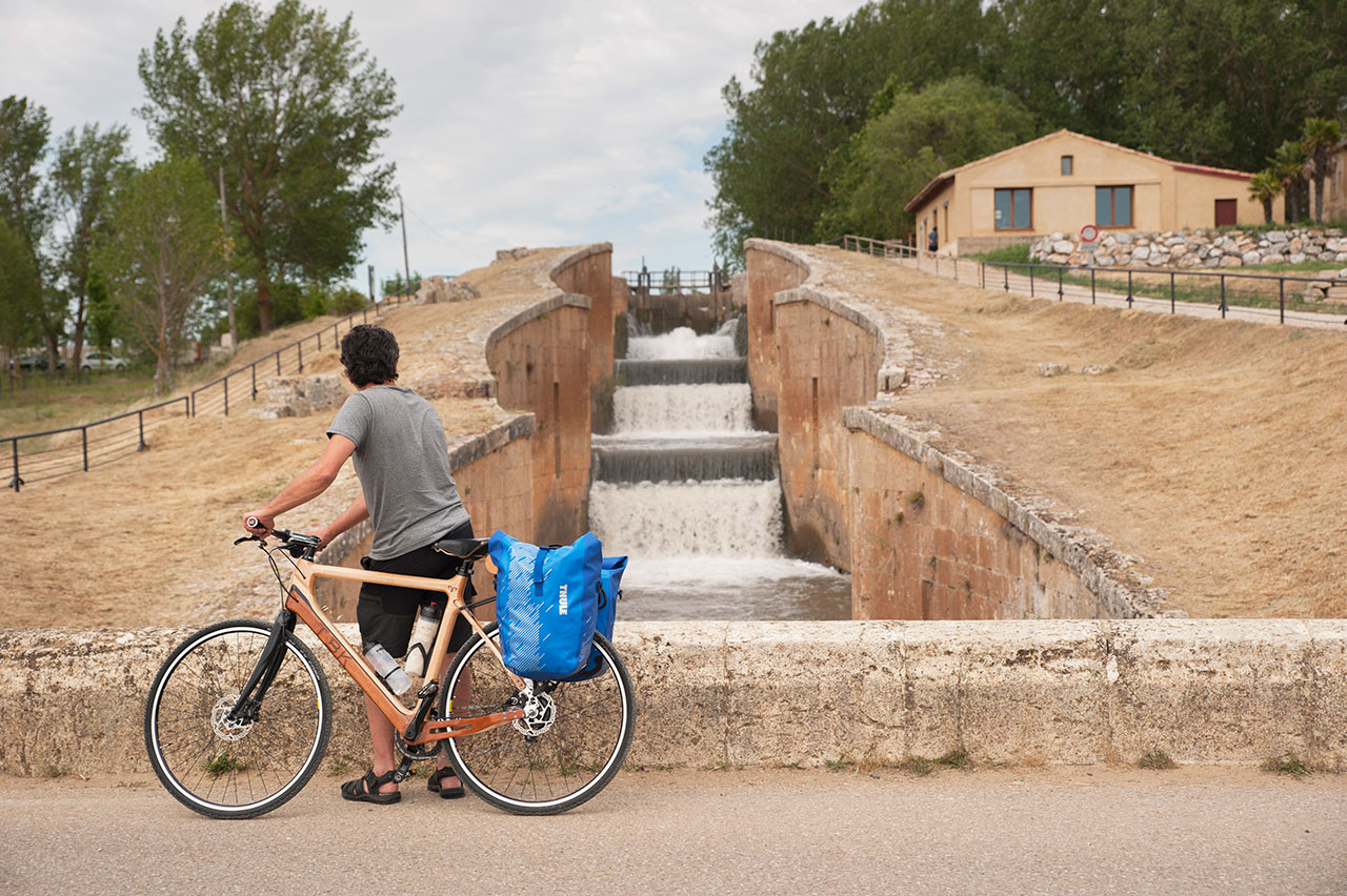
The Canal of Castilla Route runs through the plateau between the provinces of Palencia, Burgos and Valladolid. It has three branches: the North branch (Alar del Rey to Calahorra de Ribas, near Ribas de Campos), the Campos branch (from Calahorra de Ribas to Medina de Rioseco) and the South branch (from Serrón, near Grijota, passing through Palencia to Valladolid). An Asset of Cultural Interest since 1991, the Canal de Castilla was built in the 18th and 19th centuries and is one of the most important Civil Engineering projects of the Spanish Enlightenment period. Enjoy the wealth of monuments, landscapes and wildlife you'll find along the route’s towpaths. You will see locks, docks, a large number of bridges and flour mills, such as the San Antonio mill in Medina de Rioseco or the Abarca mill.