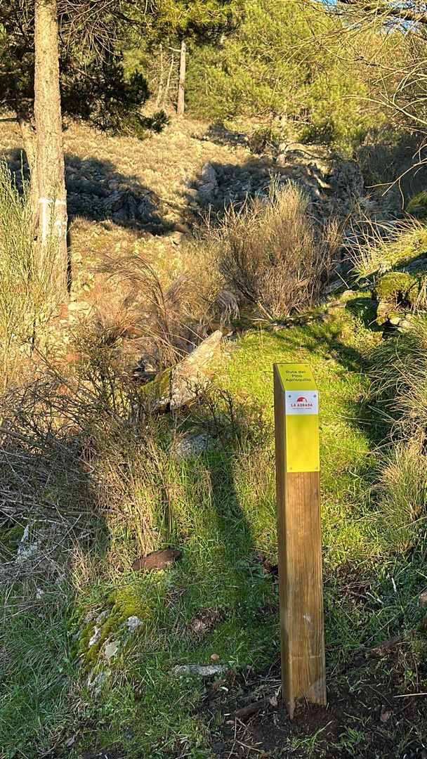
Aprisquillo Pine Route
- Length
- 6.7 kms.
- Ascent slope
- 711 m.
- Descent slope
- 122 m.
- Route
- From Ctra. Tramo de Unión to Presa de la Colmenilla
- Web
Another route:
Indoor trail (Not fully marked)
- Distance: 4.3 km
- Cumulative ascent: 730 m
- Cumulative descent: 140 m
- Maximum height: 1360 m
- Minimum height: 770 m
Resources:
- Morel Dam
- Martinete Bridge
- Charco de la Hoya
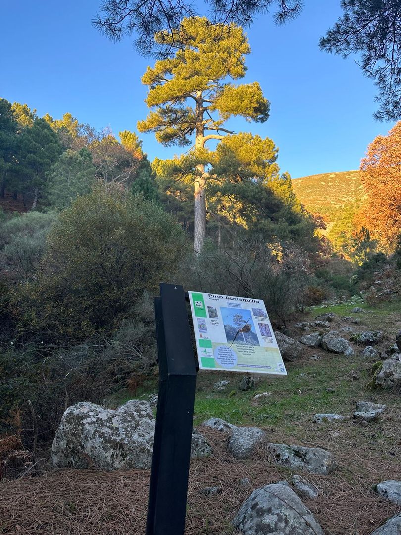
- Pino Aprisquillo or Doctor Cifuentes
Get to know the surroundings
Address and map location
- Postal address La Adrada. Ávila
It's happening
- only 27 June
- When?
- Currently
- Dates
- June 27, 2026
- only 29 July
- Dates
- July 29, 2026
- only 22 August
- Dates
- August 22, 2026
- only 5 September
- Dates
- September 5, 2026