
Horn Peak
- Route code
- PRC-BU 35
- Journey
- Linear
- Way
- On foot (0.2 h.)
- Length
- 0.6 kms.
- Ascent slope
- 130 m.
- Difficulty of the route
- Low
- Route
- From Alto de la Concha to Pico Cuerno
- Web
- To know more
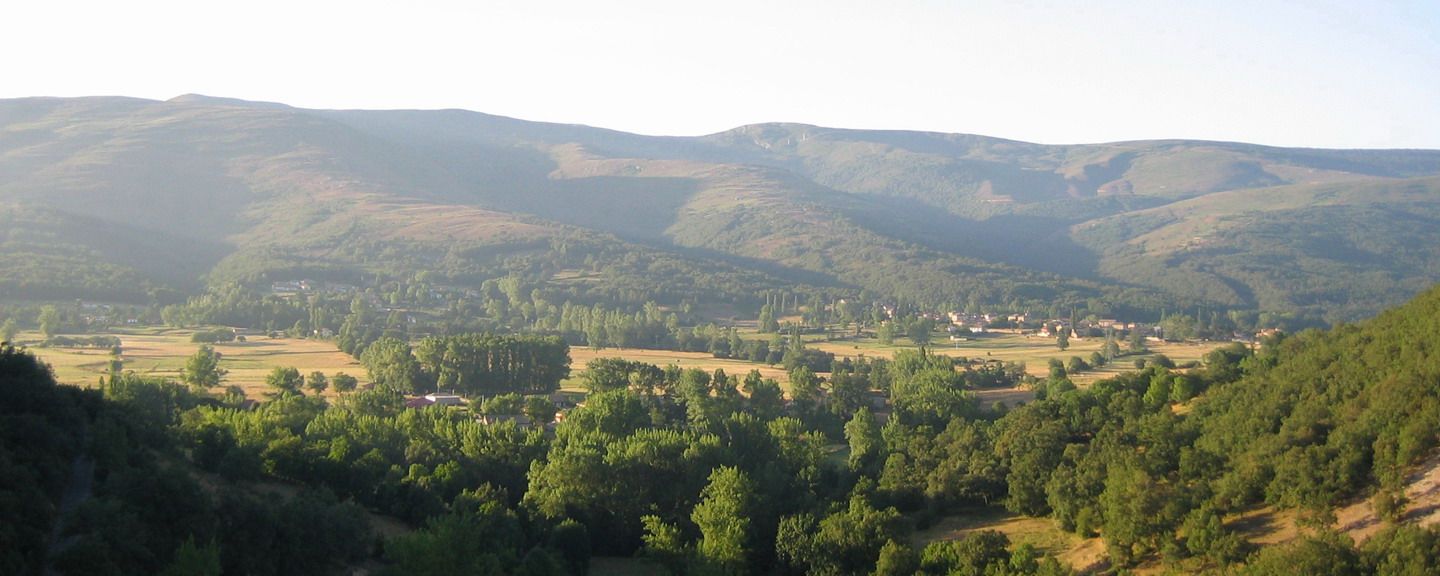
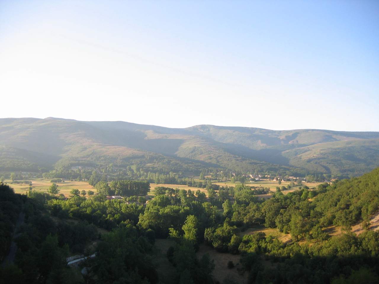
This is a path of short duration that ascends through a Holm oak forest. From Cuerno peak we can admire an excellent panoramic of the valley of Sotoscueva.
Get to know the surroundings
Address and map location
- Postal address Villamartín de Sotoscueva (Merindad de Sotoscueva). NaN. Burgos