
Pathway of the Reservoir of Linares del Arroyo
- Route code
- PR-SG 10
- Journey
- Circular
- Way
- On foot (3.5 h.)
- By bike (3.5 h.)
- Length
- 10 kms.
- Ascent slope
- 20 m.
- Recommended
- spring
- autumn
- Difficulty of the route
- Low
- Web
- To know more
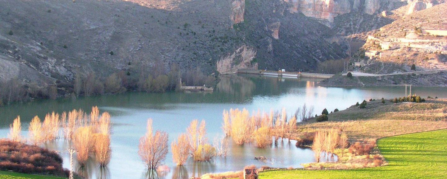
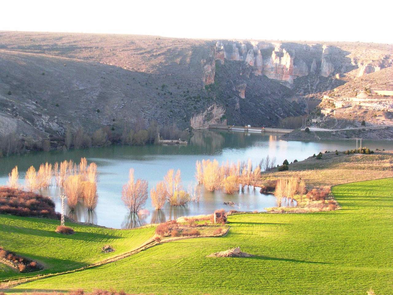
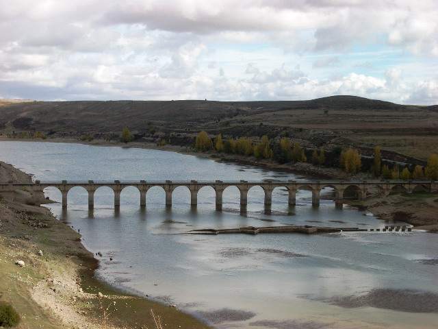
The route runs along the left bank of the reservoir, afterwards we can see crops, junipers, pine forests and the ruins of the ancient railway station of Maderuelo.
Get to know the surroundings
Address and map location
- Postal address Maderuelo. NaN. Segovia