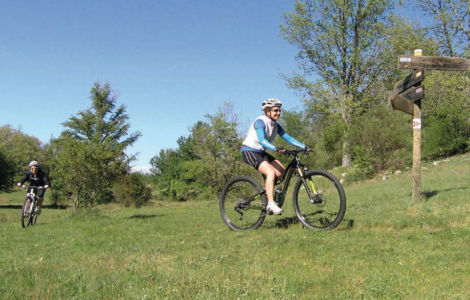
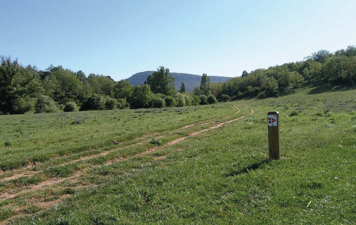
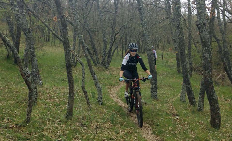
MTB Route Monte Valonsadero Itinerary 1
- Journey
- Circular
- Way
- By bike
- Length
- 39.9 kms.
- Ascent slope
- 556 m.
- Descent slope
- 556 m.
- Difficulty of the route
- High
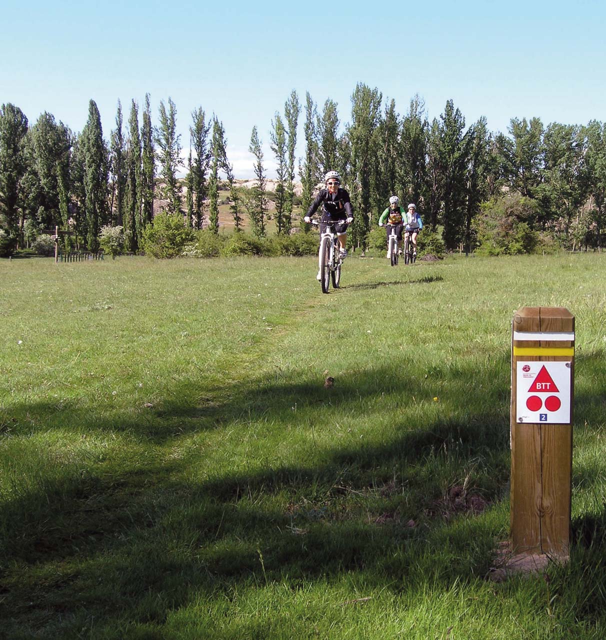
In its 40 km through roads, tracks and mostly trails, it covers all types of landscape and cultural and environmental values of Mount Valonsadero; It also shows us many inaccessible and unknown places. Short but demanding climbs give us access to the highest enclaves and the best panoramic points of Valonsadero, such as the viewpoints of La Cabaña, Los Castillejos, etc., traveling through the gentle intricate relief of the mountain. Descents, long or short, generally very comfortable and flat, will take us through valleys and valleys to the bottom of the meadows and banks of the Duero and Pedrajas valleys. We will do a long stretch, a good part of it by path, following the course of the Duero River and although some short, technically demanding, rocky journey may force us to get off the bike, in general all the trails are feasible for cycling. As the culmination of the route, we will tour the repopulated pine forests in the vicinity of Pedrajas, with a winding route with several ups and downs, slopes, slides, bends and curves, in the pure essence of a mountain bike path.
Image gallery
Get to know the surroundings
Address and map location
- Postal address Soria. Soria
It's happening
- to20 April
- When?
- Currently
- Dates
- 24 October 2025 to 20 April 2026
- only 16 March
- When?
- Soon
- Dates
- March 16, 2026
- only 17 March
- When?
- Soon
- Dates
- March 17, 2026
- only 18 March
- When?
- Soon
- Dates
- March 18, 2026
- only 18 March
- When?
- Soon
- Dates
- March 18, 2026
- only 19 March
- When?
- Soon
- Dates
- March 19, 2026
- only 20 March
- When?
- Soon
- Dates
- March 20, 2026
- only 20 March
- When?
- Soon
- Dates
- March 20, 2026
- only 21 March
- When?
- Soon
- Dates
- March 21, 2026
- only 23 March
- When?
- Soon
- Dates
- March 23, 2026