
Las Loras Global UNESCO Geopark
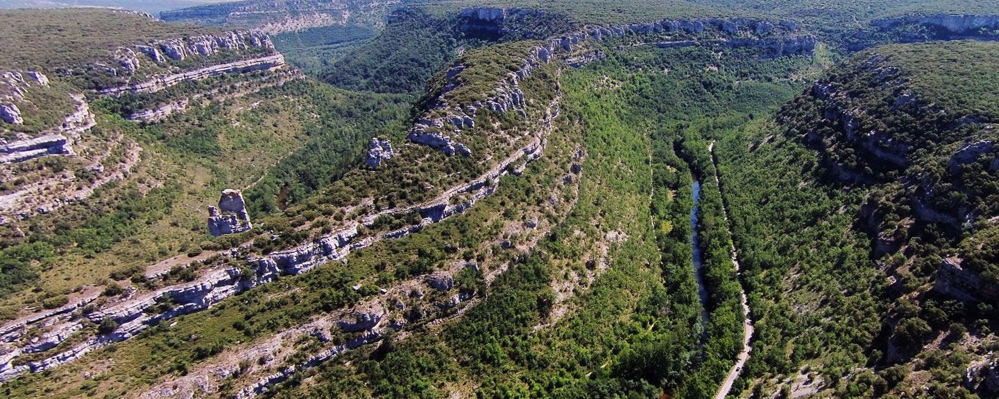
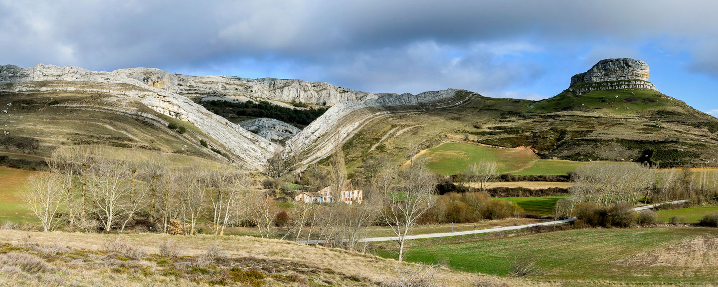
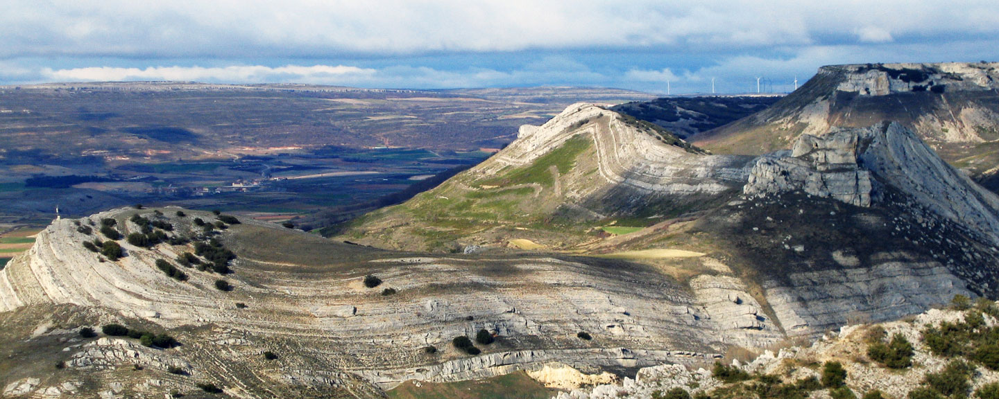
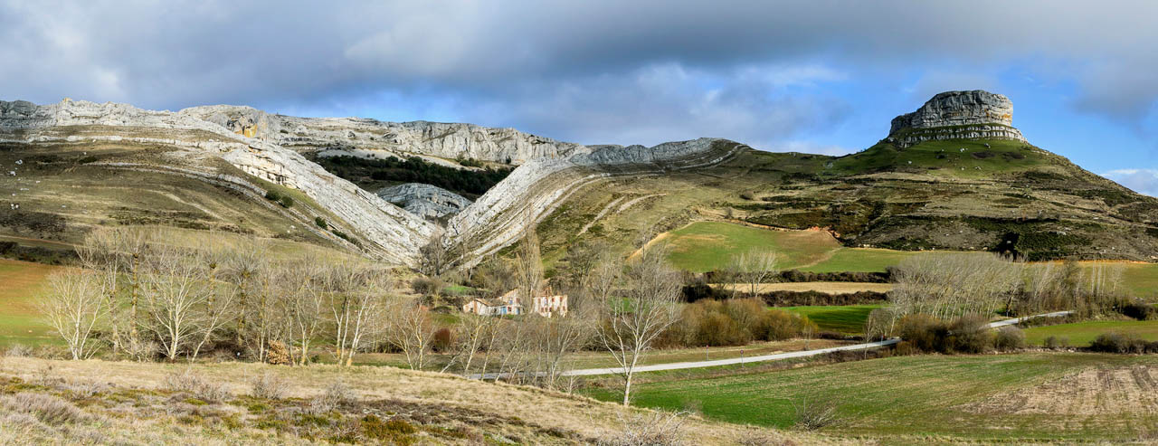
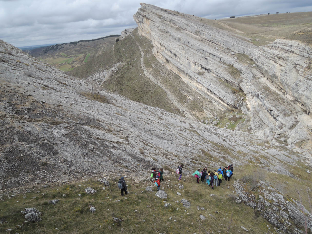
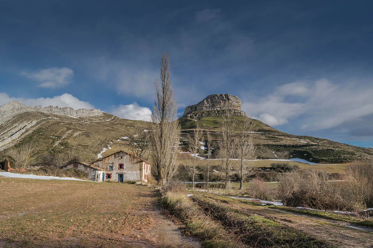
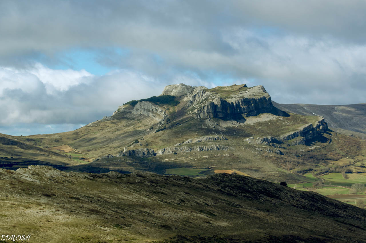
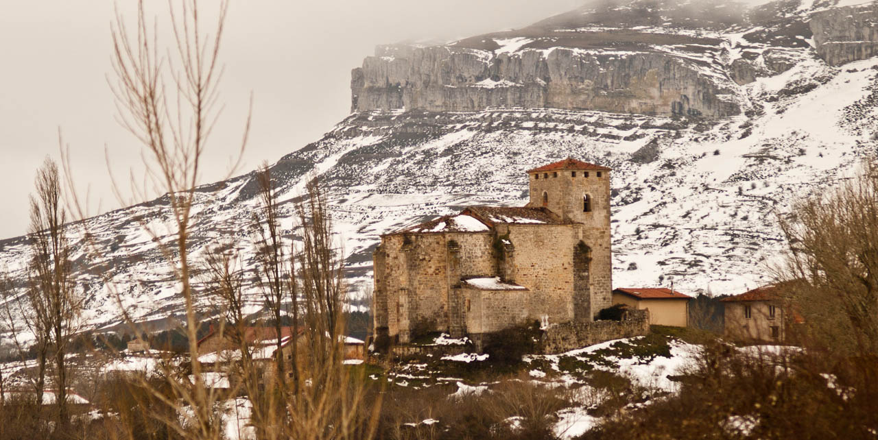
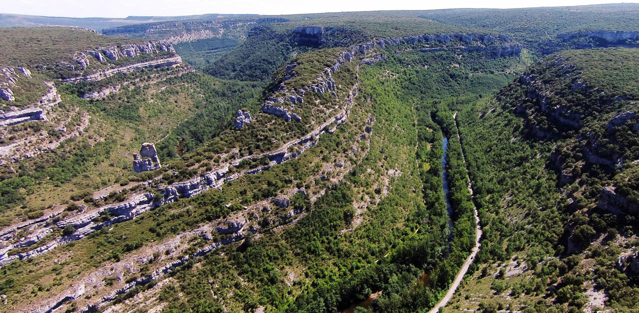
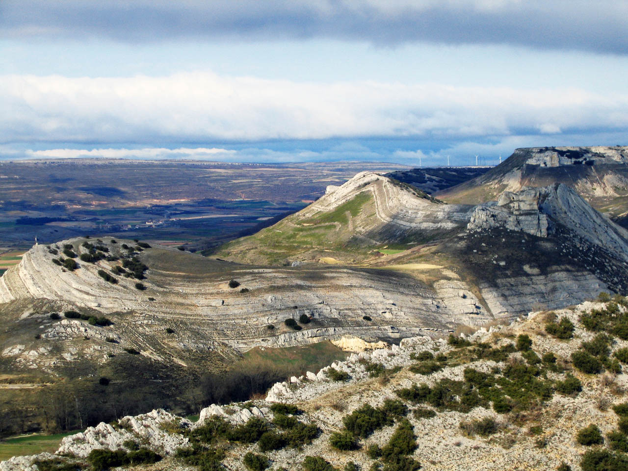
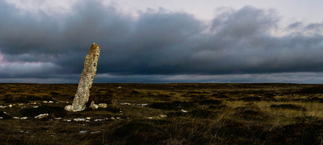
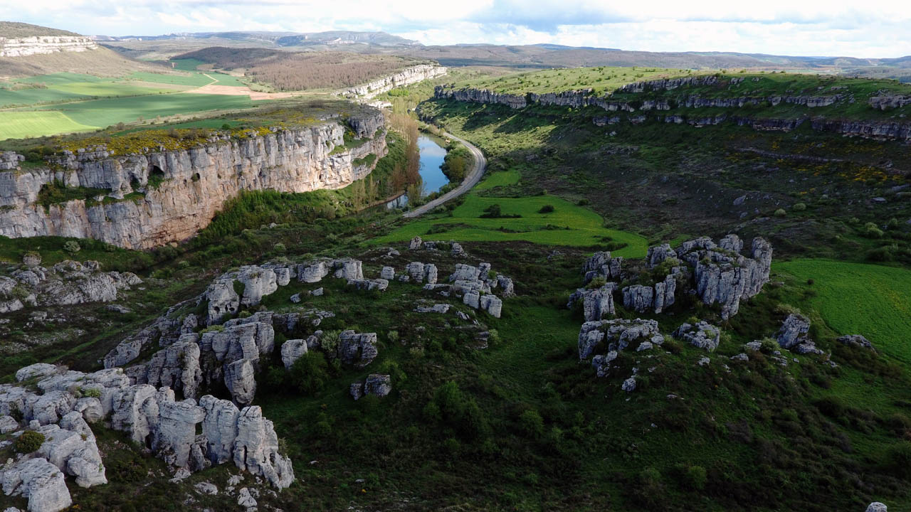
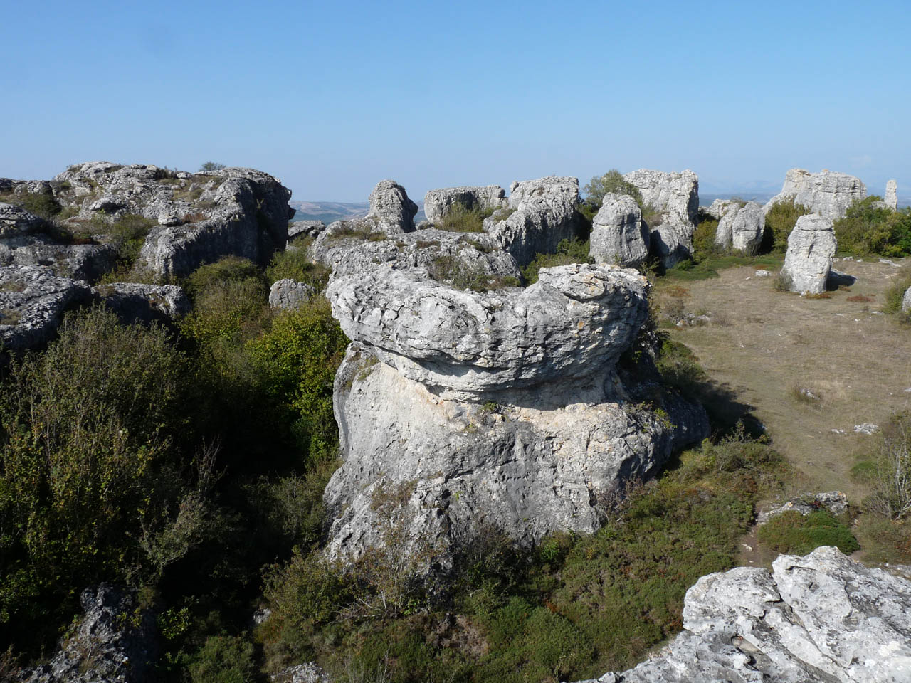
High altitude limestone moorlands, hanging synclines separated by spectacular river canyons dominate a spectacular landscape that no one leaves indifferent.
These natural fortresses have served, throughout the human history, as a refuge and protection for many peoples and cultures.
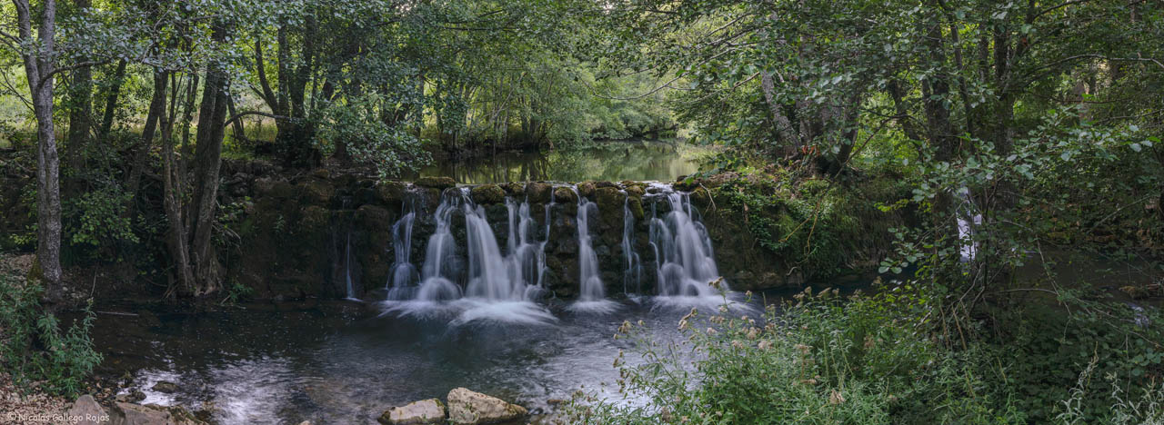
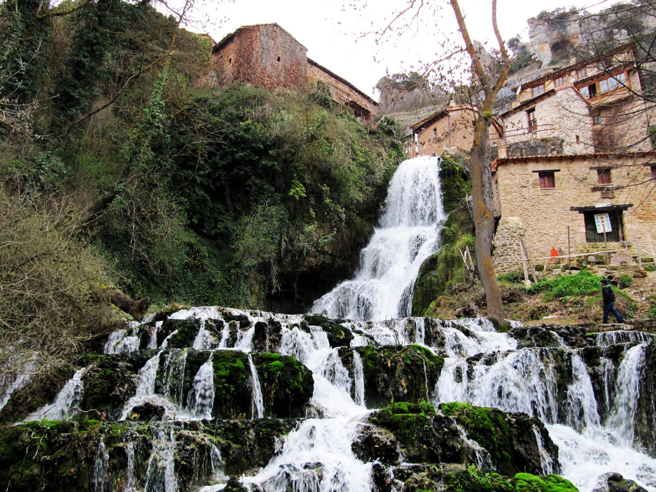
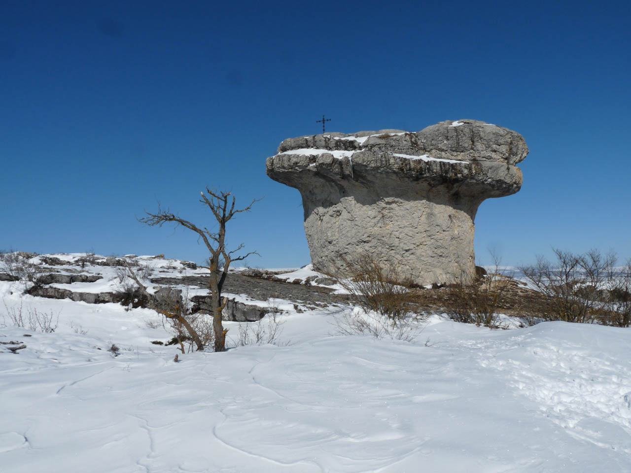
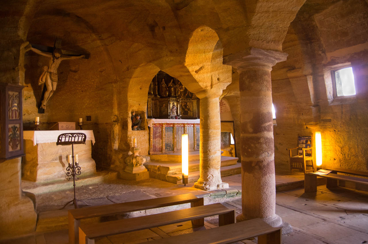
Caves, limestone cliffs, ruiniform karstic landscapes and countless waterfalls coexist with small villages that have preserved the essence of the rural environment housing large treasures in the form of Romanesque churches, rock hermitages and well preserved popular architecture.
Prepare your visit
Image gallery
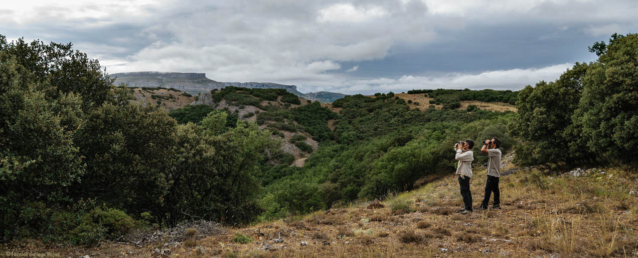
Get to know this natural space
Las Loras Geopark Visitor Reception Center
The Las Loras Geopark Visitor Reception Center is located behind the Villadiego town hall and is a key point for visiting any area of the 'Las Loras' Geopark, which includes part of the provinces of Burgos and Palencia. A geological...
On map
Address
- Postal address Calle Diego Porcelos, 8. Villadiego. NaN. Burgos
- Web
- Phones659 491 537
Enjoy this natural space
On foot and by bike
- Between Nestar and Cordovilla de AguilarTo know more
Shortly after the beginning of the route, it passes beside Puente Perdiz, a very well preserved Roman bridge that crosses Rubagon...
- Journey
- Circular
- Way
- On foot (1.3 h.)
- Length
- 6.1 kms.
- Recommended
- spring
- summer
- autumn
- winter
- Desfiladero del Rio RudronTo know more
We never leave the river bank, passing under dense riverside vegetation, which shadow makes the route very pleasant, even in the...
- Journey
- Linear
- Way
- On foot (3 h.)
- Length
- 8.9 kms.
- Recommended
- spring
- summer
- autumn
- winter
- Los cortados de Peña UlañaTo know more
The Peña Ulaña is a long plateau, which rises 230m above the surrounding land. It is one of the most emblematic plateaus in this...
- Journey
- Circular
- Way
- On foot (2 h.)
- Length
- 4 kms.
- Recommended
- spring
- autumn
- MTB Route Las LorasTo know more
This tour begins with a gentle climb to the top of Calvary, and along 40 kilometers, starting in Villadiego, the route passes through...
- Journey
- Circular
- Way
- By bike (5 h.)
- Length
- 39.8 kms.
- Ascent slope
- 460 m.
- Difficulty of the route
- High
- MTB Route Los llanos de VilladiegoTo know more
The extensive and fertile flatland formed by the plains of Villadiego allows enjoying an easy route of 28 kilometers with gentle...
- Journey
- Circular
- Way
- By bike (3.5 h.)
- Length
- 28 kms.
- Ascent slope
- 370 m.
- Difficulty of the route
- Medium
- MTB Route Peones de AmayaTo know more
Walk of just over eight kilometers, of an estimated duration of an hour, which allows enjoying amazing views.
- Journey
- Circular
- Way
- By bike (1 h.)
- Length
- 8.4 kms.
- Ascent slope
- 180 m.
- Difficulty of the route
- Low
- MTB Route Ribera del BrullesTo know more
This tour begins with a gentle climb through fields of labor to the top of Calvary, continuing by Arenillas de Villadiego. During...
- Journey
- Circular
- Way
- By bike (1 h.)
- Length
- 7.3 kms.
- Ascent slope
- 60 m.
- Difficulty of the route
- Low
- MTB Route Riberas del OdraTo know more
Along 33 kilometers, this route offers to make a good part of its journey by lands of Villadiego, beside the Odra River and its riparian...
- Journey
- Circular
- Way
- By bike (4.1 h.)
- Length
- 33.3 kms.
- Ascent slope
- 310 m.
- Difficulty of the route
- High
- MTB Route ValdeamayaTo know more
Crossing the massifs of Amaya, this route covers nearly 12 kilometers, and progresses through cultivation farms and trails until...
- Journey
- Circular
- Way
- By bike (1.5 h.)
- Length
- 11.7 kms.
- Ascent slope
- 200 m.
- Difficulty of the route
- High
- MTB Route Valle de RiomanceTo know more
Route to make in only two hours, enjoying the views and the ways by which goes. Over 16 kilometers the traveler will encounter the...
- Journey
- Circular
- Way
- By bike (2 h.)
- Length
- 16.4 kms.
- Ascent slope
- 320 m.
- Difficulty of the route
- Medium
- GR-99 Pathway from Orbaneja del Castillo to Pesquera de Ebro by TurzoTo know more
- Journey
- Journey
- Way
- On foot (3.3 h.)
- Length
- 11 kms.
- Difficulty of the route
- Medium
- GR-99 Pathway from Orbaneja del Castillo to Pesquera de Ebro by ValdelatejaTo know more
- Journey
- Journey
- Way
- On foot (6.3 h.)
- Length
- 25.18 kms.
- Difficulty of the route
- Medium
- GR- 99 Pathway from Orbaneja del Castillo to PolientesTo know more
Longitud total 19 km (ida), hasta el límite con Cantabria 4,5 km (ida)
- Journey
- Journey
- Way
- On foot (1.3 h.)
- Length
- 4.5 kms.
- Difficulty of the route
- Medium
- GR- 99 Pathway from Pesquera de Ebro to ManzanedoTo know more
- Journey
- Journey
- Way
- On foot (5 h.)
- Length
- 18.3 kms.
- Difficulty of the route
- Medium
- Pedaleando por el Románico PalentinoTo know more
Esta preciosa ruta BTT, diseñada por Jesús Calleja, es sin duda una gran oportunidad para conocer y disfrutar de la gran riqueza...
- Journey
- Circular
- Way
- A pedal (3,5 h.)
- Length
- 59,7 kms.
- Recommended
- spring
- summer
- autumn
- winter
- Difficulty of the route
- High
- River Pisuerga in Villaescusa de las TorresTo know more
Villaescusa de las Torres, a locality in the municipality of Pomar de Valdivia, is in an area of singular beauty with variety of...
- Journey
- Circular
- Way
- On foot (1.3 h.)
- Length
- 3.3 kms.
- Recommended
- spring
- summer
- autumn
- winter