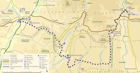
Route 1: Barruelo de Santullán - Balboa Cistierna - La Vecilla of Curueño
Stage 6 belonging to Route 1: Barruelo de Santullán - Balboa
Linear route of 31.3 km in length and an estimated duration of 3 hours 25 minutes with a gradient of 210 meters. Forest track (75%) and road (25%). Medium difficulty. Recommended time: all year round.
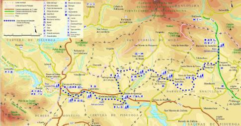
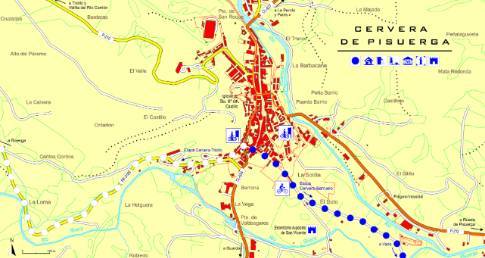
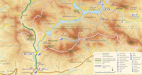
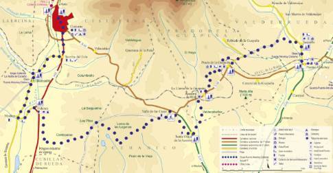
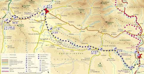
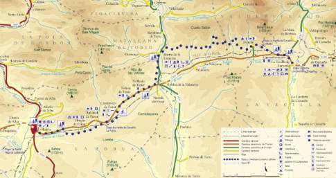
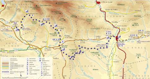
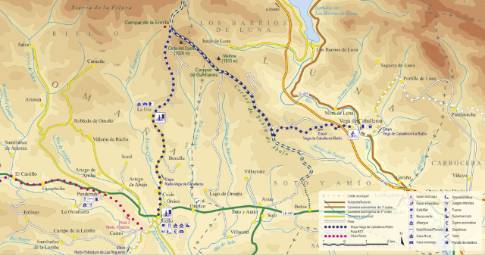
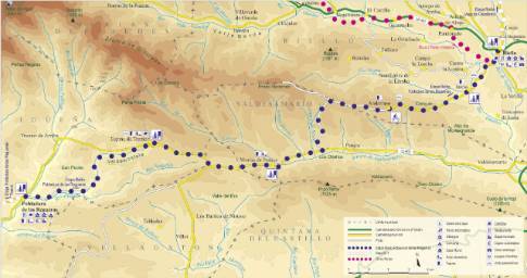
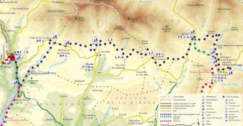
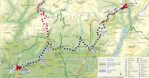
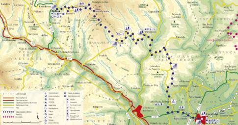
Route map
 High resolution image. This link will open using lightbox, there may be a context switch
Tips and recommendations
The tracks, after rainy seasons, can have very muddy sections.
Throughout the stage, stretches of road are used that require caution and close attention.
It is important to pay attention to road junctions to avoid taking wrong detours.
Points of interest
La Vecilla de Curueño preserves a civil tower from the 12th century, which has been declared an Asset of Historical-Artistic Interest and which currently houses the town hall.
In Otero de Curueño, the ancestral house of the Álvarez Acevedo family draws attention, with seven heraldic shields on its façade and a cylindrical tower that defends the southern flank of the palace.
Discover it as you pass through {0}
- La Losilla
From La Losilla to La Vecilla LENGTH: 13.3 km. DURATION: 1 hour 30 minutes. SLOPE: 120 m. TYPE OF ROAD: forest track (75%) and road (25%).
- Departure from El Mercadillo
Taking the forest track that enters the Mercadillo valley, we climb through oak mountains to Yugueros. From there we continue by road to La Ercina, where the route turns north, in the direction of Sobrepeña,...
- La Ercina
From La Ercina to La Vecilla LENGTH: 23.4 km. DURATION: 2 hours 35 minutes. SLOPE: 190 m. TYPE OF ROAD: forest track (75%) and road (25%).
- Barrio de las Ollas
From Barrio de las Ollas to La Vecilla LENGTH: 7.8 km. DURATION: 1 hour. SLOPE: 90 m. TYPE OF ROAD: forest track (95%) and road (5%).
- Yugueros
From Yugueros to La Vecilla LENGTH: 26.4 km. DURATION: 2 hours 45 minutes. SLOPE: 190 m. TYPE OF ROAD: forest track (70%) and road (30%).
- Otero
From Otero to La Vecilla LENGTH: 1.6 km. DURATION: 10 minutes. SLOPE: 25 m.
- Departure from La Vecilla
Leaving La Vecilla on the regional highway CL-626 towards Boñar, and after crossing the Curueño River, we take a first detour to the left to go up a dirt track to the neighboring town of Otero. On the...
- El Mercadillo
From El Mercadillo to Cistierna LENGTH: 3.2 km. DURATION: 15 minutes. SLOPE: 20 m. TYPE OF ROAD: road (100%). DIFFICULTY OF THE SECTION: low. RECOMMENDED TIME: all year round. Continuing...
- Monte Peral
From Monte Peral to La Vecilla LENGTH: 21.9 km. DURATION: 2 hours 30 minutes. SLOPE: 190 m. TYPE OF ROAD: forest track (80%) and road (20%).